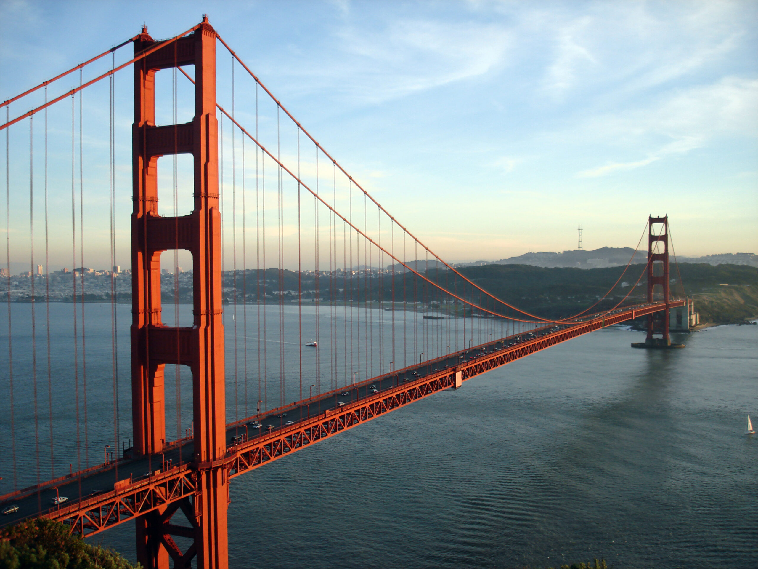
San Francisco is one of the few American cities where the honest answer to “should I rent a car?” is, for most visitors, no. The city is small, about 11 km (7 miles) across, dense and walkable, and its transit network, a mix of buses, light rail, historic streetcars, cable cars, BART and ferries, reaches nearly every sight a visitor wants to see. Driving, by contrast, means steep hills, one-way grids, expensive and scarce parking, bridge tolls and, at the tourist viewpoints, a well-documented problem with car break-ins. But the Bay Area is much bigger than the city, and the places that draw many visitors beyond it, the redwoods at Muir Woods, the wine country of Napa and Sonoma, the Monterey coast and Big Sur, Yosemite and the long drive south to Los Angeles, are far easier with a car. This guide explains how the city is laid out, how transit and fares work, what driving and parking are really like, when a car earns its keep, and gives you a straightforward way to decide.
The short answer
Skip the car for the days you spend in San Francisco itself. If your plans are the Golden Gate Bridge, Alcatraz, Fisherman’s Wharf, Chinatown, North Beach, Golden Gate Park and the Mission, Muni, the cable cars, BART and your own feet will cover them, and you will save the nightly hotel parking fee and the worry of leaving a car on the street. Rent a car for the days you leave the city: wine country, the coast, Point Reyes, Monterey and Big Sur, Yosemite, or a one-way drive to Los Angeles. Rent for the whole stay only if you are staying with family in the suburbs, working in Silicon Valley, or traveling with small children and a lot of gear to places transit does not reach. For most visitors, the right plan is a car-free city stay followed by a rental on the day you leave town. Compare rental rates for any of these plans on our San Francisco car rental page.
How San Francisco is laid out
San Francisco occupies the tip of a peninsula, with the Pacific on the west, the bay on the north and east, and the Golden Gate Bridge leading north to Marin County. Market Street is the main diagonal spine, running from the Ferry Building on the waterfront southwest toward Twin Peaks, and most transit runs along or under it. North of Market are the Financial District, Union Square, Chinatown, Nob Hill, North Beach and, on the northern waterfront, Fisherman’s Wharf and the Marina; south of Market are SoMa, the convention center, the ballpark, Mission Bay, and then the Mission and the Castro. The western half of the city, the Richmond and the Sunset, is a grid of residential streets that runs out to Ocean Beach, with Golden Gate Park between them and the Presidio at the northern end. The eastern half is compact enough to walk, if you accept the hills; the western half is best reached by Muni.
Hotels cluster around Union Square, in the Financial District and SoMa, along the Embarcadero, and at Fisherman’s Wharf, with smaller properties in Nob Hill, North Beach and the Marina. Our San Francisco hotel search lets you compare them, and it is worth checking each hotel’s parking fee if you do plan to drive, because it can add a large sum to every night of the stay.
Getting in from the airport
San Francisco International (SFO) is about 21 km (13 miles) south of downtown, in San Mateo County. BART runs from its own station at the International Terminal straight to the downtown stations under Market Street in about 30 minutes, for a distance-based fare that includes an airport surcharge; it is usually the fastest option at rush hour. The free AirTrain links all the terminals, the BART station and the rental car center, where every major company has its counters. Taxis and ride-hail pick up from designated zones on the arrivals level, and the drive downtown on US-101 takes 25 to 45 minutes depending on traffic. If you are flying into Oakland (OAK) instead, a BART connector links the airport to the main network. Check the airport’s site for current ground-transport details; our SFO airport guide covers the layout.
San Francisco’s transit, explained
Transit in San Francisco is a patchwork of agencies that works better than its reputation. Within the city, Muni, run by SFMTA, operates the buses, the light rail, the historic streetcars and the cable cars. BART is the regional rapid-transit system connecting the city to the airport and the East Bay, Caltrain runs down the peninsula to Silicon Valley, and several ferry operators cross the bay. One card, Clipper, works across all of them.
Muni buses and light rail
Muni’s buses and electric trolleybuses cover virtually every street in the city, and the busiest routes, such as the 38R on Geary to the Richmond and the 14R on Mission Street, run every few minutes. Muni Metro light rail runs underground beneath Market Street, sharing four downtown stations with BART (Embarcadero, Montgomery, Powell and Civic Center), and then fans out to the Castro, the Sunset, Ocean Beach and the ballpark. The Central Subway, which opened in 2022, extends the T line under Union Square to Chinatown. Several routes run all night on an owl schedule.
Historic streetcars
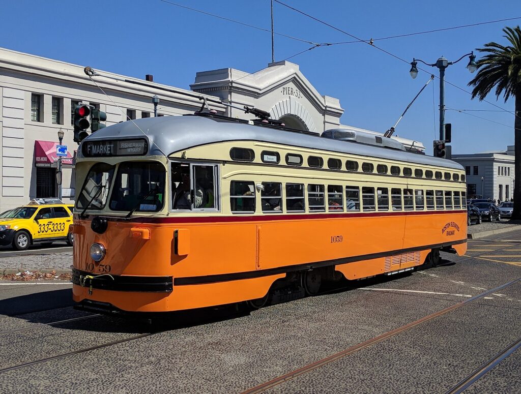
The F line runs restored streetcars from cities around the world along Market Street from the Castro to the Ferry Building, and then along the Embarcadero to Fisherman’s Wharf. It is a practical way to reach the Wharf and a sightseeing ride in itself, and it charges the standard Muni fare.
Cable cars
Three lines survive: the Powell-Hyde and Powell-Mason lines from Union Square over Nob Hill to the Wharf area, and the California Street line from the Financial District over Nob Hill. They are genuine public transit, but slow, with a separate, higher single fare that does not include transfers; most visitors ride them once or twice for the experience, which the Visitor Passport covers.
BART and Caltrain
BART is the fastest way to the airport, the Mission (16th Street and 24th Street stations), Oakland and Berkeley, but it runs only along the Market Street and Mission corridor within the city and does not serve the Wharf, the Presidio or Golden Gate Park. Caltrain, whose electrified trains leave from Fourth and King streets near the ballpark, runs down the peninsula to Palo Alto and San José.
Fares and tickets
Use a Clipper card, which you can buy at stations or add to the wallet on your phone, or the MuniMobile app for Muni tickets. A Muni fare includes transfers to other Muni buses and trains for a set period, generally two hours; the cable cars are priced separately. The Muni Visitor Passport, sold for one, three or seven consecutive days, covers unlimited rides on buses, light rail, streetcars and cable cars, and is the best deal for most sightseers. BART and Caltrain charge by distance. Children and teenagers have ridden Muni free under the city’s youth program; check SFMTA’s site for current fares and rules before you go.
Accessibility
Muni buses are low-floor or lift-equipped, the underground Muni Metro and BART stations have elevators, and Muni’s accessible-services pages describe the stops that work for wheelchairs. The cable cars and the steepest hills are the exception; for those, the buses that run parallel routes are the accessible alternative.
Beyond Muni and BART
- Walking. The northeastern quarter of the city, from the Ferry Building through Chinatown and North Beach to the Wharf, is walkable in an afternoon. The hills are real, so plan routes that go around them, or take the cable car up and walk down.
- Ferries. Golden Gate Ferry runs from the Ferry Building to Sausalito and Larkspur, San Francisco Bay Ferry to Oakland, Alameda and Vallejo, and other operators from Pier 41 to Sausalito and Tiburon. The ferry to Sausalito is the easiest way to see the bay, the bridge and Alcatraz from the water. The Alcatraz boat leaves from Pier 33.
- Bikes and scooters. Bay Wheels bike share, including e-bikes, has docks across the eastern half of the city. The flat waterfront from the Ferry Building to the Golden Gate Bridge, the car-free stretch of Golden Gate Park and the ride across the bridge to Sausalito are excellent; the hills elsewhere are best left to e-bikes.
- Taxis, ride-hail and robotaxis. Uber, Lyft and licensed taxis operate everywhere, and driverless Waymo cars run as a ride-hail service across the city, which many visitors try once for the novelty. For a group of three or four, a short ride is competitive with transit fares.
- Regional buses. Golden Gate Transit buses cross the bridge to Marin, and on busy weekends a seasonal shuttle serves Muir Woods, where reservations are required for parking and the shuttle; the park’s site explains the system.
Driving in San Francisco: what it is really like
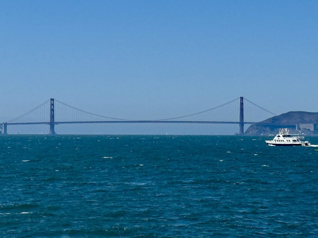
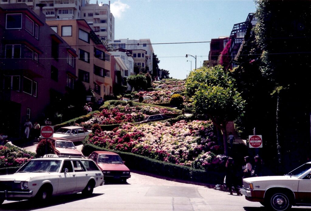
Driving in San Francisco is manageable but rarely pleasant for visitors. The hills are the first surprise: some streets are steep enough that you cannot see the road ahead as you crest them, and stopping and starting on a slope at a four-way stop takes concentration. The grid is full of one-way streets, turn restrictions and transit-only lanes painted red, which private cars may not use except to turn at the next corner, and cameras enforce them. Cable car tracks and streetcar rails run down the middle of several streets, and cable cars have the right of way. Pedestrians and cyclists are everywhere and expect drivers to yield. Traffic is heaviest on the approaches to the Bay Bridge, on US-101 where it runs through the city on Van Ness Avenue and Lombard Street, and on Nineteenth Avenue through the Sunset, which is the route between the Golden Gate Bridge and the southern freeways.
Parking and break-ins
Parking is the bigger issue. Street parking in the busy neighborhoods is scarce, meters are demand-priced and cost more at busy times, residential areas limit non-permit holders to a couple of hours, and weekly street-cleaning hours are strictly ticketed. Many major streets become tow-away zones during rush hours, and curb colors carry rules of their own: red for no stopping, yellow for commercial loading, white for passenger drop-off, green for short-term parking and blue for disabled permits. City and private garages downtown and at the Wharf are the reliable option, and hotels charge a substantial nightly fee for valet or self-parking. Then there are the break-ins. Vehicle break-ins have long been a well-known problem in San Francisco, and although reported numbers have fallen from their peak, rental cars parked at tourist stops, such as the Golden Gate Bridge viewpoints, the Palace of Fine Arts, Alamo Square, Twin Peaks and Fisherman’s Wharf, remain frequent targets. The practical precautions are simple: leave nothing in the car at all, not even a jacket or an empty bag; do not move luggage into the trunk in the parking lot, where it can be seen; park in a staffed garage where you can; and never leave bags in the car overnight. Many visitors plan their day so that the car goes straight from the hotel garage to the highway with the luggage and comes back empty.
Rules and conditions worth knowing
- Curb your wheels on hills. City law requires it on steep grades: turn the front wheels toward the curb when facing downhill and away from it when facing uphill, and set the parking brake. Parking enforcement does ticket this.
- Bridge tolls. The Golden Gate Bridge charges a toll southbound, into the city, and the Bay Bridge charges westbound, into the city; both are cashless. Rental companies usually enroll the car in a toll program that adds a service fee, and the Golden Gate Bridge allows a one-time payment online after crossing; ask at the counter which applies.
- Transit lanes. Red-painted lanes are for Muni and taxis; driving in them outside a turn brings a camera ticket to the rental company, which will pass it on with a fee.
- Right turns on red are permitted after a full stop unless signed otherwise, and California requires hands-free use of phones while driving.
- Fuel in California is among the most expensive in the country, so factor it into any long drive.
- Road conditions. 511.org covers Bay Area traffic and transit, and Caltrans publishes highway closures, including Highway 1 through Big Sur and the mountain roads to Yosemite.
When renting a car makes sense
- Wine country. Napa and Sonoma are an hour to ninety minutes north, and the wineries are spread out; a car works if someone in the group is not drinking, and a tour is the alternative.
- The coast and Point Reyes. Point Reyes National Seashore, the coast road north through Marin, and Half Moon Bay to the south are car trips.
- Monterey, Carmel and Big Sur, two to three hours south, are best explored by car, with stops along the way.
- Yosemite, about four hours east, needs a car and ideally a night or two.
- Silicon Valley and the suburbs. If you are working in the South Bay or visiting family across the Bay Area, the distances make a car worthwhile daily.
- California road trips. The drive south to Los Angeles is a classic; our San Francisco to Los Angeles route guide covers the options, and our Los Angeles car-versus-transit guide explains why the car question flips once you get there.
If any of those apply, our rental car booking tips cover insurance, deposits and the questions to ask at the counter, and our family car rental guide looks at vehicle choice.
When it does not
- You are staying in the city and your plans are the bridge, Alcatraz, the Wharf, the museums and the neighborhoods.
- You are in town for a conference at Moscone Center, a Giants or Warriors game, or a festival, when parking is at its worst and transit stops at the door.
- You want Sausalito or Muir Woods for a day, which a ferry, a bike or a tour covers.
- Your hotel charges a large nightly parking fee and the car would sit in the garage most of the stay.
The hybrid plan for a city-plus-day-trips visit
Go car-free for the city days and rent only for the days you leave town, and think carefully about where you pick up. Collecting a car at the SFO rental car center makes sense if you are heading straight out of town on arrival, south to Monterey or east to Yosemite, because the freeways are right there and you never enter city traffic. Renting from one of the downtown or Fisherman’s Wharf offices makes sense if you are spending your first nights in the city, because you avoid paying for a car, and hotel parking, on the nights you are not using it. A pattern that works well: BART into the city, three car-free days, pick up a rental in the city on the morning you leave, spend a day in wine country or on the coast, and either return the car at the airport on the way to your flight or keep driving south to Los Angeles on a one-way rental. On the day you pick up, check out of the hotel with your bags already in the car, and keep them out of sight. Compare the day rates on our San Francisco car rental page against a full-trip rental, and the difference is usually obvious.
A worked cost comparison
Numbers change with the season and the booking window, so treat this as a method rather than a quote, and check current rates before deciding. For a four-night city stay for two people, the car-free version costs a return BART trip from the airport for two, two three-day Visitor Passports, and perhaps a couple of ride-hail trips at night; the rental version adds four days of a compact car, four nights of hotel parking at city rates, fuel, bridge tolls and garage fees at the sights, and buys you very little you could not reach by transit. The transit option wins easily. For the same four nights with a day in wine country, the car-free version adds a guided wine tour for two; the hybrid version adds a one-day rental from a city office, fuel and a Golden Gate Bridge toll. For a couple, the costs are often similar, and the choice comes down to whether anyone wants to stay sober enough to drive; for a family of four, the rental usually wins. For a week that ends with a drive down the coast to Los Angeles, a one-way rental picked up on the last city morning is the only practical answer, and a one-way drop fee is usually cheaper than the extra days and parking of a car collected at the airport on arrival. Run the rental rates for your dates on our San Francisco car rental page and put them beside the transit and tour costs before you choose.
Driving south to Monterey, Big Sur and Los Angeles in each season
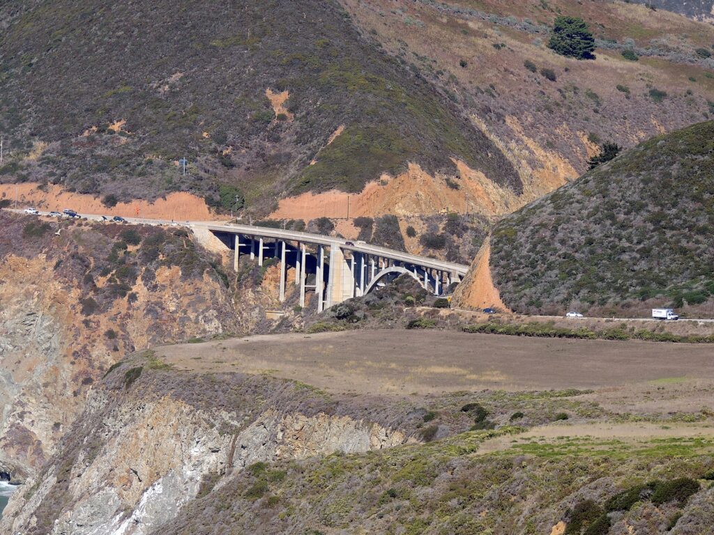
The drive south from San Francisco is one of the great road trips in the country, and the route you choose matters more than the season. The fastest way to Los Angeles is Interstate 5 through the Central Valley, about six hours without stops; US-101 through Salinas, Paso Robles and Santa Barbara takes an hour or so longer and is far more scenic; and Highway 1 along the coast through Big Sur is an all-day drive, or better, two days with a night in Monterey or Big Sur. In summer, the coast is often foggy in the mornings, the Big Sur pullouts are crowded, and the Central Valley on Interstate 5 is very hot; start early. In fall, the fog lifts, the light is golden and the traffic thins after Labor Day, which makes September and October the best months for the coast road. In winter, the storms that bring San Francisco its rain can trigger landslides that close sections of Highway 1 through Big Sur, sometimes for months, so check Caltrans before you set off and have US-101 as the fallback; the Grapevine on Interstate 5 north of Los Angeles is occasionally closed by snow. In spring, the hills are green, the wildflowers are out and the coast is at its most dramatic, though some Highway 1 repairs may still be under way. If Yosemite is on the list, note that Tioga Road through the high country closes for the winter, usually from November until late spring, and chains may be required on the park roads in snow. Whichever route you take, our San Francisco to Los Angeles route guide covers the drive, and our Los Angeles first-timer’s guide covers what to do when you arrive.
Decision table
| Your trip | Recommendation | Why |
|---|---|---|
| City break, couple or solo | No car | Muni, the cable cars, BART and walking cover the sights; parking is costly and break-ins are common |
| Conference at Moscone Center | No car | BART and Muni stop nearby; downtown parking is scarce and expensive |
| City plus Sausalito or Muir Woods | No car: ferry, bike or tour | The ferry and the Muir Woods shuttle or a tour cover both |
| City plus a day in wine country | Hybrid: one-day rental from a city office, or a tour | Car-free city days; a designated driver or a guide for Napa and Sonoma |
| Monterey, Big Sur or Yosemite | Rent for those days | Long drives with spread-out stops |
| Family visit to the suburbs or Silicon Valley | Rent for the whole stay | Suburban distances make the car worthwhile daily |
| Family with small children and gear | Car-free in the city, rent for day trips | Transit and taxis work in the city; a car helps beyond it |
| California road trip | Rent one-way to Los Angeles | San Francisco is the start, not the destination |
Money-saving tips for both options
- On transit: buy a Visitor Passport if you will ride the cable cars more than once; use Clipper for BART and the ferries; walk downhill and ride uphill.
- On a rental: rent only for the days you leave the city, compare airport and city pickup, decline extras you already have through a credit card or home policy (check first), and ask how the rental company handles bridge tolls before you drive onto the Golden Gate Bridge.
- On parking: compare a garage near your hotel with the hotel’s own fee, and never leave anything in the car.
- On timing: avoid the Bay Bridge and US-101 at rush hour, and leave for wine country or the coast early on weekends; the best time to fly to San Francisco guide lists the busiest weekends.
- On day trips: for one or two people, a ferry to Sausalito or a guided tour to Muir Woods or wine country often costs less than a rental plus parking, fuel and tolls.
Frequently asked questions
Is it worth renting a car in San Francisco?
Not for the city itself; transit, walking and the occasional ride-hail are cheaper and easier. Rent only for day trips or a road trip beyond the city.
Is San Francisco public transit good for tourists?
Yes. Muni buses, light rail, streetcars and cable cars reach almost every sight, BART connects the airport and the East Bay, and one Clipper card or Visitor Passport covers it all.
How do I get from SFO to downtown San Francisco?
BART from the International Terminal in about 30 minutes, or a taxi or ride-hail in 25 to 45 minutes depending on traffic.
Is it safe to leave a car parked in San Francisco?
Vehicle break-ins are common, especially at tourist spots. Leave nothing in the car, including in the trunk, and use a staffed garage where you can.
How do I pay the Golden Gate Bridge toll in a rental car?
The toll is charged southbound and is cashless. Most rental companies bill it through a toll program with a service fee; the bridge also accepts a one-time online payment after crossing. Ask at the counter.
Can I get to Muir Woods without a car?
Yes, by guided tour or by the seasonal shuttle, and reservations are required for the shuttle and for parking.
Is it hard to drive in San Francisco?
The hills, one-way streets, transit lanes and parking rules take concentration, and parking is scarce and expensive. It is manageable, but most visitors find it is not worth the stress.
Whichever way you go, start with the flight. Compare cheap flights to San Francisco, choose a neighborhood with our San Francisco hotel search, and if wine country or the coast is on the list, price the rental for those days on our San Francisco car rental page. For what to see once you are there, start with our first-timer’s guide to San Francisco.
Keep planning with TicketScanner
- San Francisco car rentals — compare airport and city pickup
- Cheap flights to San Francisco
- San Francisco hotels — factor parking into the rate
- Things to do in San Francisco: a first-timer's guide
- Best time to fly to San Francisco: month by month
- San Francisco International (SFO) airport guide
- Driving San Francisco to Los Angeles
- Los Angeles: rent a car or use transit?
- Rental car booking tips
- Car, transit or taxi in a new city?
Leave a Reply