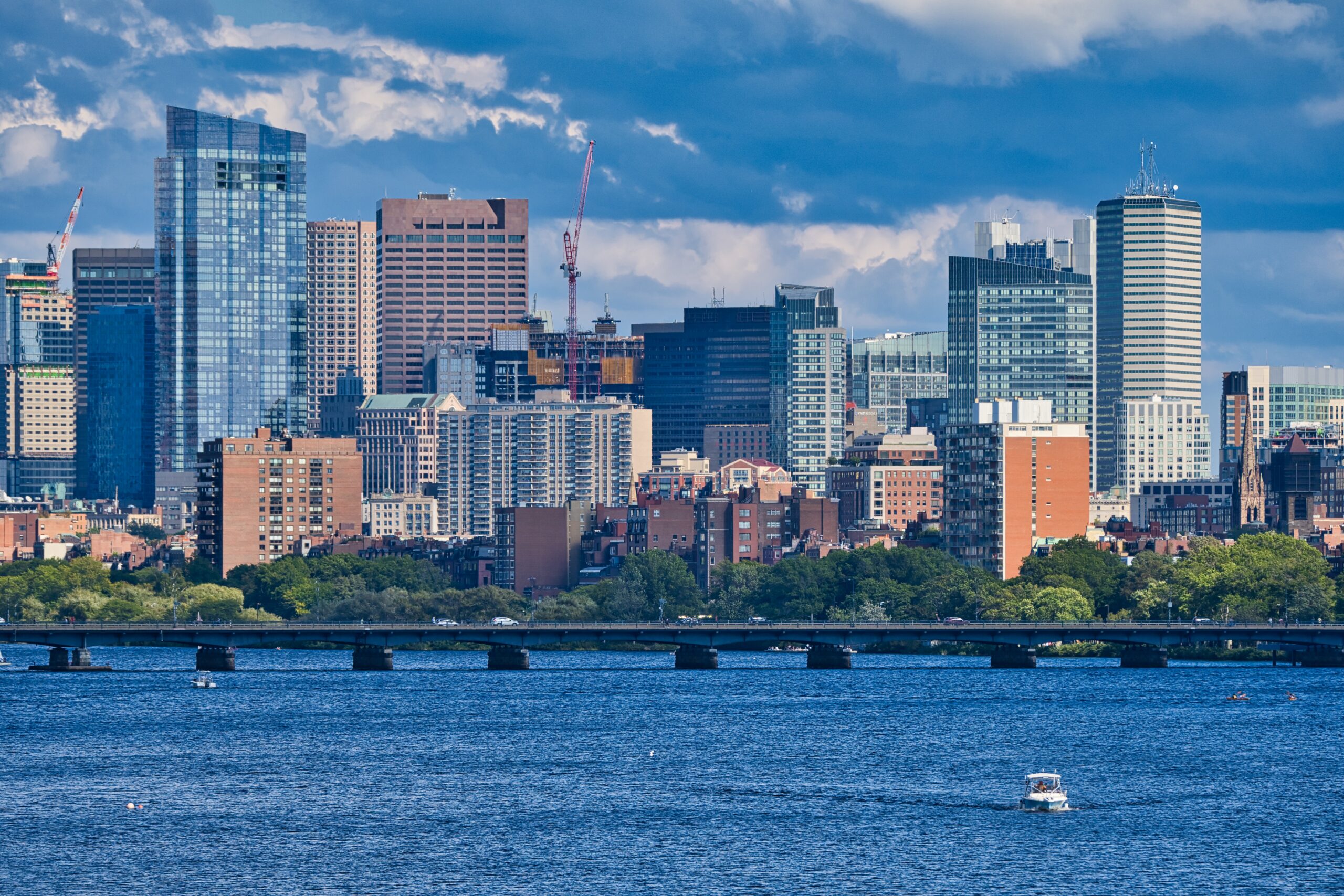
Boston is one of the few American cities where a visitor is genuinely better off without a car. Its historic core is small enough to walk across in under an hour, the airport is a short subway or bus ride across the harbor, and the T, the oldest subway system in the country, reaches almost every sight a first-timer wants to see. Driving, meanwhile, is famously hard work: streets laid out on colonial cow paths and harbor landfill, one-way systems that change direction without warning, rotaries, tunnels, tolls, residents-only parking on most neighborhood streets and garage rates that rival New York’s. That said, Boston is also the gateway to New England, and the moment your plans include Cape Cod, the Berkshires, the coast of Maine or the fall foliage in the mountains, a car becomes the obvious choice. This guide explains how transit works, what driving is really like, and how to decide.
The short answer
Skip the car for any trip based in Boston or Cambridge, which is most visits. The T, your feet, the Bluebikes bike-share and the occasional taxi will cover the Freedom Trail, Back Bay, the North End, the Seaport, Fenway and Harvard faster and far more cheaply than driving, and you will not pay to park overnight. Rent a car for the days that need one: Cape Cod beyond the ferry towns, the North Shore beaches, Newport, the White Mountains or Vermont in foliage season, a visit to family in the suburbs, or a longer New England road trip. Even then, pick it up on the morning you leave the city and return it when you get back. If a car is on the list, compare rates for your dates on our Boston car rental page.
How Boston is laid out
Boston grew on a hilly peninsula in a harbor, and much of today’s city sits on land that was once water: Back Bay, the South End and large parts of the waterfront were all filled in during the nineteenth century. Downtown, the Financial District and the North End hold the oldest, most irregular streets and most of the Freedom Trail. Beacon Hill rises beside Boston Common, and the Public Garden leads west into Back Bay, whose streets are a neat grid with cross streets named alphabetically from Arlington to Hereford. The South End is south of Back Bay, Fenway and Kenmore lie to the west, and the Seaport sits across the Fort Point Channel on the harbor. The Charles River separates Boston from Cambridge, home to Harvard and MIT, which is effectively part of the same city for a visitor. From end to end, the areas most visitors see fit within about 5 km (3 miles).
Hotels cluster in Back Bay, downtown and the Financial District, the Seaport, and in Cambridge around Kendall Square and Harvard Square, with airport hotels in East Boston and cheaper options in the suburbs along the T. The best rule is to stay near a subway station, ideally on the Red or Green Line. Our Boston hotel search lets you compare them.
Getting in from the airport
Boston Logan International (BOS) is only about 5 kilometers (3 miles) from downtown, and getting into the city is quick. The Silver Line SL1 bus stops at every terminal and runs through the Ted Williams Tunnel to the Seaport and South Station, where it connects with the Red Line, commuter rail and Amtrak; it has been free to board at the airport in recent years. Free Massport shuttle buses run from the terminals to Airport station on the Blue Line, which reaches the Aquarium and Government Center in under ten minutes. Water taxis cross the harbor to the downtown waterfront and the Seaport from the airport’s dock, a quick and scenic ride if your hotel is near the water. Taxis and ride-hail pick up outside each terminal and take 15 to 30 minutes to downtown through the harbor tunnels, much longer at rush hour, and the fare includes tunnel tolls. Logan Express buses run to Back Bay and several suburban park-and-ride lots. The rental companies share a consolidated Rental Car Center reached by shuttle bus; unless you are driving straight out of the city, there is no reason to use it on arrival. The Massport site covers current ground-transport options; our Logan airport guide covers the layout.
Boston’s transit, explained
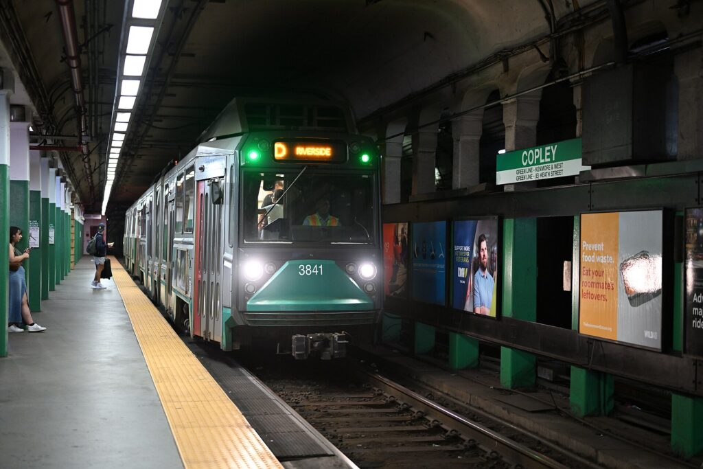
The Massachusetts Bay Transportation Authority, the MBTA or simply the T, runs the subway, the buses, the commuter rail and several ferries. It has had well-publicized reliability problems in recent years, but for a visitor it remains by far the easiest way around the city.
The subway
Four color-coded lines meet in the center. The Red Line runs from Alewife through Harvard, Central and Kendall/MIT in Cambridge, across the Longfellow Bridge to Park Street, Downtown Crossing and South Station, then south to Ashmont and Braintree. The Green Line, a light-rail line that opened in 1897 as the first subway in America, runs under Boylston Street through Park Street, Copley and Kenmore before splitting into four branches, B, C, D and E, which run on the surface; it is the line for Back Bay, Fenway Park, the Museum of Fine Arts and, since its extension in 2022, Somerville and Medford. The Orange Line runs north to south through North Station, Downtown Crossing, Back Bay and the South End to Jamaica Plain. The Blue Line runs from Government Center under the harbor to the airport and Revere Beach. Park Street, Downtown Crossing, Government Center and State are the transfer hubs. Trains run from around 5 a.m. until shortly after midnight, with no overnight service; check the last train times if you are out late.
Buses and the Silver Line
Buses cover the neighborhoods between subway lines and are the way to places such as the JFK Library and Castle Island. The Silver Line is a bus rapid transit service with its own lanes and tunnels in places: the SL1 runs to the airport, and the SL2 serves the Seaport, both from South Station.
Commuter rail and ferries
The commuter rail runs from South Station, Back Bay and North Station to the suburbs and beyond, and it is the way to day trips: Salem and Rockport on the Newburyport/Rockport Line, Concord on the Fitchburg Line, Providence on the Providence Line, and Worcester, Lowell and Plymouth. In summer, the CapeFLYER weekend train runs from South Station to Hyannis on Cape Cod. The T’s ferries link Long Wharf with Charlestown, Hingham and Hull, and private operators run seasonal fast ferries to Salem and Provincetown and the Harbor Islands ferry.
Fares and tickets
You can now pay on the subway, the buses and the Silver Line by tapping a contactless credit or debit card, a phone or a watch at the fare gate or the bus reader, which is the simplest option for most visitors. Plastic CharlieCards, which you can load at station machines, and paper CharlieTickets also work. The subway charges a flat fare for any trip, with a cheaper fare on local buses and discounted transfers when you tap the same card or phone; day and week passes are sold for heavier use. Children 11 and under ride free with a paying adult. Commuter rail fares depend on the zone and ferries have their own fares; buy them in the mTicket app or on board. Check the MBTA’s site for current fares before you go.
Accessibility
Every bus is accessible, and most subway stations have elevators, but some Green Line surface stops and a few older stations are not step-free, and elevator outages do happen. The MBTA’s website shows accessible stations and current elevator status; if you are traveling with a wheelchair, a stroller or heavy luggage, check before you set out.
Beyond the T
- Walking. Boston is one of the most walkable cities in North America. Boston Common to the North End is fifteen minutes, the Public Garden to Copley Square ten, and the Freedom Trail is designed to be walked.
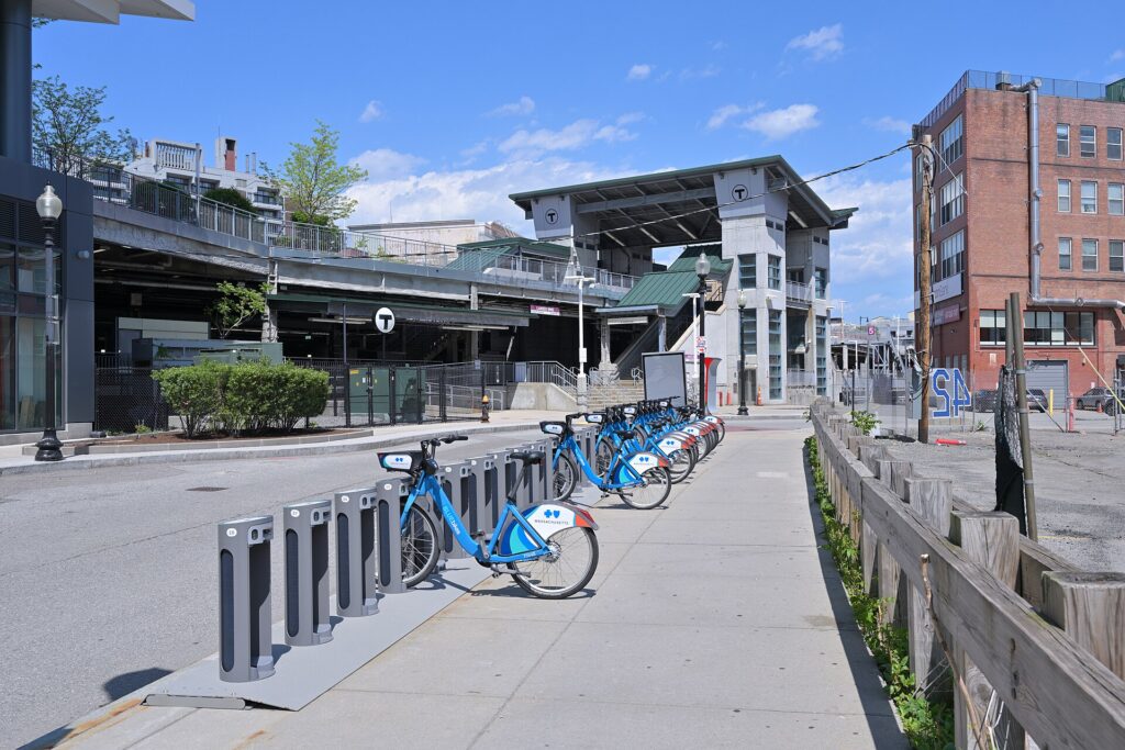
- Bluebikes. The bike-share network has hundreds of stations across Boston, Cambridge, Somerville, Brookline and neighboring towns, with single rides, day passes and electric bikes. The paths along the Charles are the best rides.
- Water taxis and ferries. Water taxis connect the airport, the waterfront, the Seaport and Charlestown, and the T’s ferry from Long Wharf to the Charlestown Navy Yard costs little and doubles as a harbor tour.
- Taxis and ride-hail. Licensed taxis and the ride-hail apps operate across the city; they are the way home after the trains stop.
- Intercity trains and buses. Amtrak runs the Acela and Northeast Regional from South Station and Back Bay to Providence, New York, Philadelphia and Washington, and the Downeaster from North Station to Portland, Maine. Intercity buses run from the South Station bus terminal to New York and across New England.
Driving in Boston: what it is really like
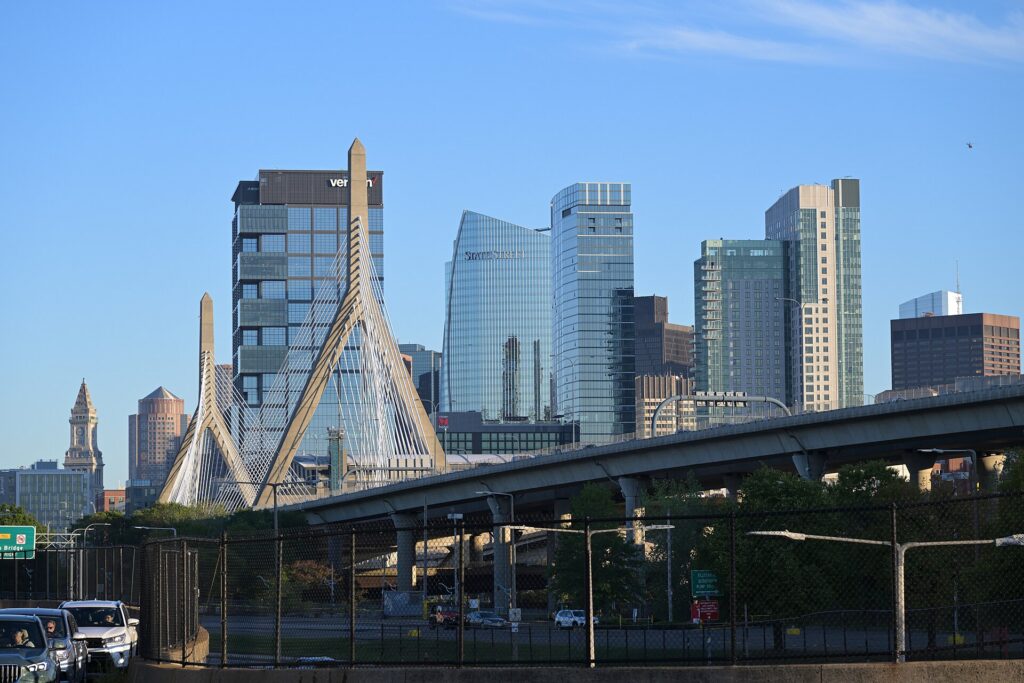
Boston drivers have a national reputation, and the streets explain much of it. Downtown and the North End are a knot of narrow one-way streets that follow the lines of the seventeenth-century town; lane markings fade or vanish; streets change names at intersections; and GPS directions struggle in the tunnels, where the signal drops just as you need to choose an exit. The Big Dig, the vast project that buried the elevated Central Artery in tunnels under downtown in the 2000s, made the city far more pleasant, but it created a maze of ramps and tunnels that challenges newcomers. Traffic is heavy at rush hour on I-93, the Massachusetts Turnpike (I-90) and the Southeast Expressway, around Fenway on game days, and on the routes to Cape Cod on summer weekends. Local drivers are quick and assertive.
Parking
Parking is the biggest reason not to drive. Hotels charge a steep nightly fee for valet or self-parking, and downtown and Back Bay garages are among the most expensive in the country. Much of the street parking in the residential neighborhoods, including all of Beacon Hill and much of the North End and the South End, is reserved for residents with permits. Metered spaces in Back Bay and downtown have time limits and are paid by machine or through the ParkBoston app. Street cleaning on posted days in the warmer months and snow emergency parking bans on main roads in winter both mean towing, and recovering a towed rental is expensive and time-consuming.
Rules and conditions worth knowing
- Tolls are all-electronic. The Massachusetts Turnpike, the harbor tunnels and the Tobin Bridge have no toll booths; cameras read an E-ZPass transponder or the license plate. Rental companies pass the tolls on with a service fee, so ask how their toll program works when you pick up.
- Storrow Drive and Memorial Drive, the riverside parkways, have low bridges and ban trucks and commercial vehicles. Rental moving trucks that ignore the signs regularly get stuck, especially around the September move-in.
- Rotaries. Traffic already in the circle generally has priority; enter carefully and signal your exit.
- Hands-free law. Massachusetts bans holding a phone while driving; use a mount and voice commands.
- Pedestrians. Drivers must stop for pedestrians in crosswalks, and in Boston there are a lot of them.
- Right turns on red are legal in Massachusetts after a full stop unless signed otherwise, but many downtown intersections prohibit them; read the signs.
- Winter. Snow and ice are routine from December to March, and a nor’easter can make roads dangerous for a day. Mass511 publishes traffic and road conditions.
When renting a car makes sense
- Cape Cod. The ferries and the CapeFLYER reach Provincetown and Hyannis, but the beaches, lighthouses and towns of the Outer Cape and the Cape Cod National Seashore are best explored by car.
- Fall foliage. The White Mountains, Vermont and the Berkshires are two to three hours away, and the back roads are the point.
- The coast. Newport, the North Shore beyond Salem and Rockport, and the coast of Maine are easier with a car, even where a train reaches the first town.
- Family in the suburbs. Greater Boston’s suburbs are spread out, and a car earns its keep daily.
- A Northeast road trip. Boston is the natural start or finish of a trip through New England or down the coast; our Philadelphia to Boston route guide covers the drive between the two cities, about 480 km (300 miles) and five to six hours without traffic.
If any of those apply, our rental car booking tips cover insurance, deposits and the questions to ask at the counter, and our family car rental guide looks at vehicle choice.
When it does not
- You are staying in Boston or Cambridge and your plans are the city.
- You are here for a game at Fenway or the Garden, the Marathon, the Fourth of July or a conference, when parking is at its worst and the T stops at the door.
- Your day trips are Salem, Concord, Rockport, Providence or Plymouth, all reachable by commuter rail.
- You are traveling solo or as a couple and the rental, insurance, tolls and hotel parking add up to more than the fares.
The hybrid plan for a city-plus-New England trip
Spend the city days car-free and rent only for the days you leave town, and think about where you pick up. The airport’s Rental Car Center has the widest selection and makes sense if you are heading straight out of the city on arrival, since the tunnels lead directly to I-93 and the Turnpike without crossing downtown. For a trip that starts in the city, the rental offices in Back Bay and downtown let you pick up the morning you leave, so you never pay hotel parking on nights the car would sit unused. A common pattern: take the Silver Line or Blue Line into the city, spend two or three days on foot and on the T, pick up a car in Back Bay, head to Cape Cod or the mountains, and return it at the airport on the way to your flight, which most companies allow for little or no extra charge. Compare day rates on our Boston car rental page against a full-trip rental and the difference is usually obvious.
A worked cost comparison
Numbers change with the season and the booking window, so treat this as a method rather than a quote, and check current rates before deciding. For a four-night city break for two people, the car-free version costs the airport transfer, which can be free on the Silver Line, a handful of subway rides or two week passes, and perhaps a couple of taxis late at night; the rental version adds four days of a compact car, four nights of hotel parking at Boston rates, fuel, tolls and the airport fees. Transit wins by a wide margin. For the same four nights with two days on Cape Cod, the car-free version adds round-trip fast ferry tickets to Provincetown or the CapeFLYER to Hyannis; the hybrid version adds a two-day rental picked up in Back Bay, fuel, and parking at the beaches. For two people staying in Provincetown, the ferry is often cheaper; for several towns and beaches, or a family of four, the car usually wins. For a week-long New England road trip, a rental is the only practical answer, and an airport pickup is still simpler than getting into the city and back out again. Run the rental rates for your dates on our Boston car rental page and put them beside the ferry and train fares before you choose.
Driving out of Boston in each season
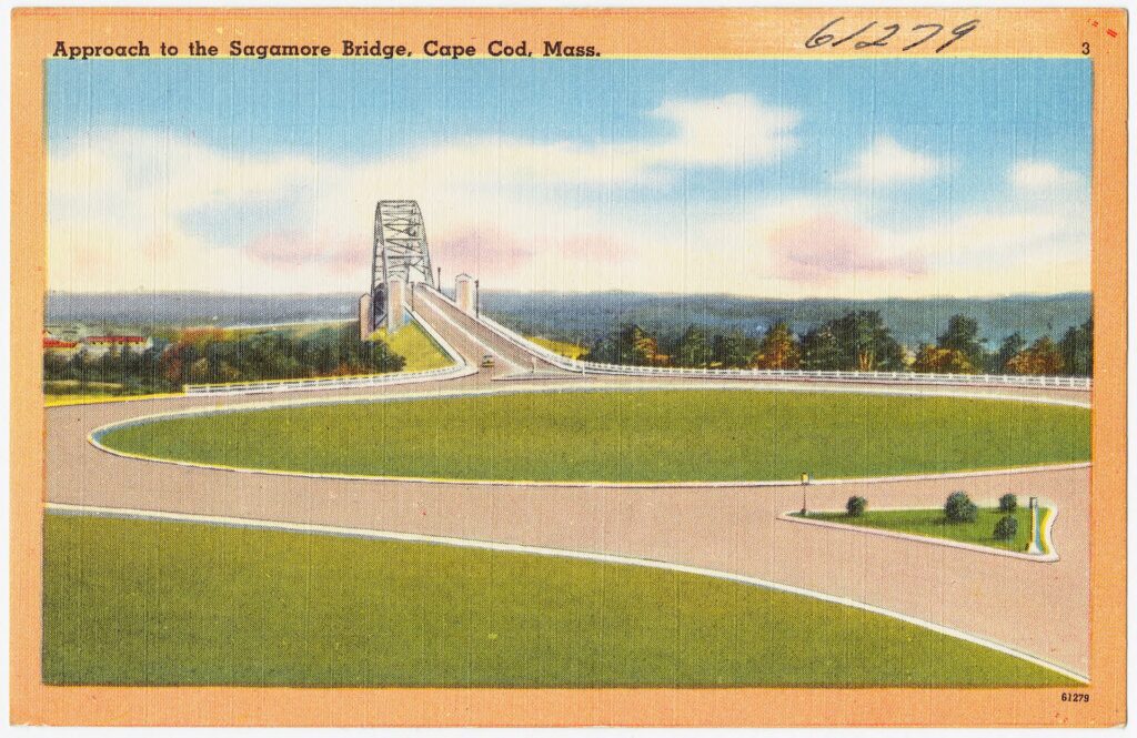
The roads out of Boston are good, but timing makes a large difference. In summer, the challenge is Cape Cod traffic: every Friday afternoon, all of Greater Boston seems to head south on Route 3 toward the Sagamore Bridge, and every Sunday afternoon it all comes back, turning a drive of just over an hour into three or more. Leave before noon on Friday or after dark, return early on Sunday or on Monday, and the drive is easy. In fall, foliage weekends fill the roads north into New Hampshire and Vermont, especially the Indigenous Peoples’ Day weekend in October; a weekday trip is far more pleasant. In winter, the highways are plowed quickly and generally open, but a nor’easter can make any road treacherous for a day, and the mountain roads call for care and a car with good tires; ski traffic heads north on Friday evenings and back on Sunday afternoons. In spring, the roads are clear and the crowds thin, though potholes follow the thaw. In every season, avoid I-93 and the Turnpike near the city during the weekday rush.
Decision table
| Your trip | Recommendation | Why |
|---|---|---|
| City break in Boston or Cambridge | No car | The T and your feet cover everything; parking is expensive and scarce |
| Game, Marathon, Fourth of July or conference | No car | Roads close, parking vanishes, and the T stops at the venue |
| Day trips to Salem, Concord or Providence | No car | Commuter rail reaches each in under 90 minutes |
| City plus a few days on Cape Cod | Hybrid: rent in Back Bay for the Cape days, or take the ferry | Car-free city days, car or ferry for the Cape |
| Fall foliage in the mountains | Rent for those days | The back roads of New Hampshire and Vermont need a car |
| Family visit to the suburbs | Rent for the whole stay | Suburban distances make the car worthwhile daily |
| New England road trip | Rent at the airport | The tunnels lead straight to the highways; no downtown driving |
| Driving up from Philadelphia or New York | Drive in, park and leave the car | Use the T in the city; choose a hotel with parking you have priced |
Money-saving tips for both options
- On transit: take the Silver Line from the airport, tap the same card or phone each time, buy a day or week pass for heavy sightseeing days, and let children 11 and under ride free.
- On a rental: compare airport and Back Bay pickup, book early for summer and October, understand the toll program before you drive off, decline extras you already have through a credit card or home policy (check first), and never leave the car on a street-cleaning or snow-emergency route.
- On the hotel: if you are renting, price the parking fee into the room rate, or look at hotels in Cambridge or near suburban T stations with cheaper or free parking.
- On timing: avoid the Friday afternoon exodus to Cape Cod and the Sunday return, the weekday rush on I-93, and the move-in days at the end of August; the best time to fly to Boston guide lists the busiest weekends.
- On the day trips: for Salem, Concord, Rockport and Providence, a commuter rail ticket costs far less than a day’s rental plus parking, and the Boston first-timer’s guide lists which trips work without a car.
Frequently asked questions
Is it worth renting a car in Boston?
Not for the city. For Cape Cod, the mountains, the coast beyond the train lines or a family visit in the suburbs, yes; rent for those days only.
Is Boston public transit good for tourists?
Yes. Four subway lines, the Silver Line and the ferries reach nearly every sight, and the core is so compact that you will walk much of it anyway. Service stops shortly after midnight.
How do I get from Logan Airport to downtown Boston?
The Silver Line SL1 bus to South Station, the free shuttle to the Blue Line at Airport station, a water taxi to the waterfront, or a taxi or ride-hail through the tunnels in 15 to 30 minutes outside rush hour.
Can I get to Cape Cod without a car?
Yes. Fast ferries run from Boston to Provincetown in season, the CapeFLYER train runs to Hyannis on summer weekends, and buses serve the Cape year-round. A car is still better for exploring several towns and beaches.
Is driving in Boston really that bad?
It is challenging: confusing streets, tunnels, assertive drivers and scarce, expensive parking. It is manageable outside rush hour, but few visitors find it worth the trouble inside the city.
How do tolls work in a rental car in Massachusetts?
All tolls are electronic. The rental company’s transponder or plate-billing program charges you the tolls plus a service fee, so ask about the terms at pickup.
Where should I park if I drive into Boston?
At your hotel, after pricing its parking fee, or at a suburban T station with a garage, and take the train into the city. Avoid residents-only streets and posted street-cleaning days.
Whichever way you go, start with the flight. Compare cheap flights to Boston, choose a neighborhood with our Boston hotel search, and if Cape Cod or the mountains are on the list, price the rental for those dates on our Boston car rental page.
Keep planning with TicketScanner
- Boston car rentals — compare airport and Back Bay pickup
- Cheap flights to Boston
- Boston hotels — factor parking into the rate
- Things to do in Boston: a first-timer's guide
- Best time to fly to Boston: month by month
- Boston Logan International (BOS) airport guide
- Driving Philadelphia to Boston
- Where to stay: Back Bay
- Rental car booking tips
- Car, transit or taxi in a new city?
Leave a Reply