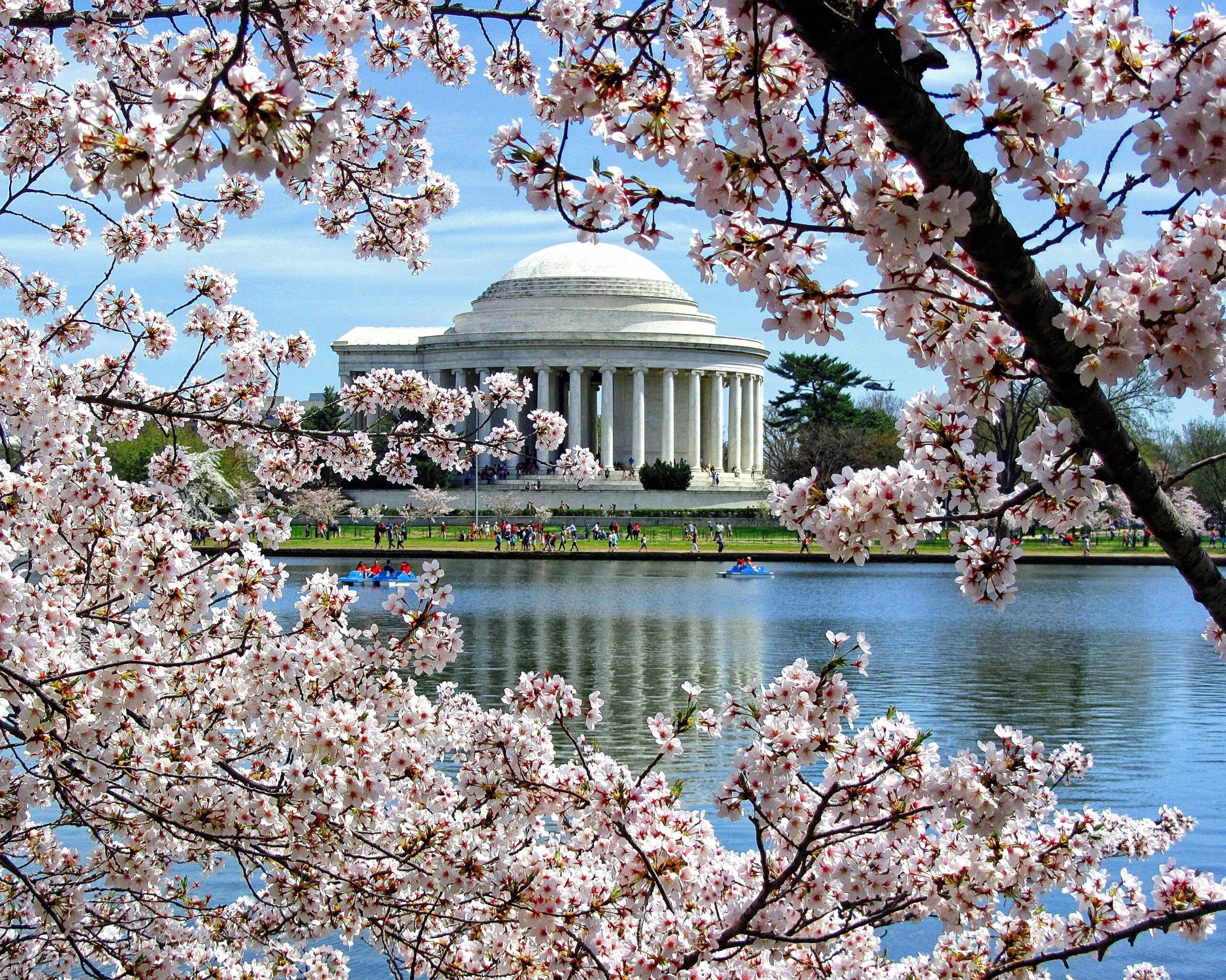
Washington, DC is one of the few American cities where a visitor can leave the car at home without a second thought. The Metro was built in the 1970s to move federal workers between the suburbs and the monuments, and it still does exactly that: nearly every sight on a first-timer’s list, from the Capitol to Arlington National Cemetery, is within a short walk of a station, and two of the region’s three airports are on the system. Driving, by contrast, means some of the heaviest traffic in the country, traffic circles that confuse even locals, a dense network of speed and red-light cameras, streets that close for motorcades without warning, and hotel parking that can cost as much as a modest dinner every night. But the car still has a job here. Mount Vernon, Shenandoah, Harpers Ferry, Gettysburg and the Chesapeake are all day trips, and the suburbs of Maryland and Virginia sprawl far beyond the rail lines. This guide explains how the city is laid out, how the Metro, buses and bikes work, what driving is really like, and gives you a straightforward way to decide.
The short answer
Skip the car for a city visit, which is what most first trips to Washington are: the Metro, your feet, Capital Bikeshare and the occasional taxi will cover the Mall, the museums, Capitol Hill, Dupont Circle, Georgetown, the Wharf and Arlington, and you will save the parking and the stress. Rent a car only for the days you leave the city, for Mount Vernon, Shenandoah National Park, Harpers Ferry, Gettysburg, Annapolis or the Delaware beaches, or if you are visiting family in the outer suburbs, traveling with small children and a lot of gear, or making Washington one stop on an East Coast road trip. For most visitors, the right answer is a car-free city stay plus a one- or two-day rental. Compare rental rates for those days on our Washington, DC car rental page.
How Washington is laid out
Washington was planned, and the plan helps. The city is divided into four quadrants (NW, NE, SW and SE) that meet at the Capitol, and every address carries its quadrant, so 700 G Street NW and 700 G Street SE are in different parts of town. Numbered streets run north-south, lettered streets run east-west (there is no J Street), and broad diagonal avenues named after the states cut across the grid, meeting at traffic circles and squares such as Dupont, Logan and Thomas circles. The National Mall runs west from the Capitol to the Lincoln Memorial along the Potomac; downtown and Penn Quarter lie just north of it, Capitol Hill east of it, and the Wharf and Navy Yard along the rivers to the south. Northwest Washington, where most visitors spend their evenings, holds Dupont Circle, Logan Circle, U Street, Adams Morgan and Georgetown. Across the Potomac, Arlington and Alexandria in Virginia are effectively part of the city, and the Capital Beltway, I-495, rings the whole region about 15 to 20 km out from the center.
Hotels cluster downtown and in Penn Quarter, around Dupont Circle, in Georgetown and Foggy Bottom, on Capitol Hill, at the Wharf and Navy Yard, and across the river in Arlington, Rosslyn and Crystal City, which are usually cheaper and a few Metro stops from the Mall. Our Washington, DC hotel search lets you compare them.
Getting in from the airports
Washington has three airports, and the Metro serves two of them directly. From Reagan National (DCA), in Arlington just across the river, the Blue and Yellow lines leave from a station connected to the terminal by walkways, and the ride to the Mall or downtown takes 15 to 25 minutes; a taxi takes about the same outside rush hour. From Dulles (IAD), about 42 km (26 miles) west, the Silver Line leaves from a station linked to the main terminal by a pedestrian walkway, and reaches downtown in around 50 minutes to an hour; a taxi or ride-hail takes 40 minutes in light traffic and much longer at rush hour. From Baltimore/Washington (BWI), a free shuttle bus runs from the terminal to the BWI rail station, where MARC commuter trains and Amtrak run to Union Station in about half an hour to 40 minutes; the drive takes 45 minutes to well over an hour. Every airport has rental companies, and at Dulles and BWI they are reached by shuttle. Unless you are heading straight out of the city, there is no reason to pick up a car on arrival. The Reagan National, Dulles and BWI sites cover current ground transport, and our Reagan National airport guide covers the layout.
Washington’s transit, explained
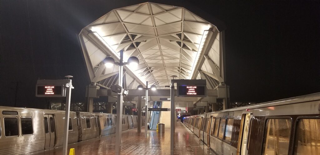
The Washington Metropolitan Area Transit Authority, WMATA, runs the Metrorail and Metrobus systems. The Metro is clean, generally reliable and, with its vaulted concrete stations, one of the most distinctive subway systems in the world. Its limitation is that it was designed as a commuter railway, with long lines reaching deep into the suburbs and a few gaps in the city itself.
Metrorail
Six color-coded lines, Red, Orange, Blue, Silver, Green and Yellow, serve nearly 100 stations in DC, Maryland and Virginia. The Red Line is a U-shaped line through downtown that reaches Union Station, Dupont Circle and the National Zoo at Woodley Park. The Orange, Blue and Silver lines share a tunnel under the Mall, with stations at the Smithsonian, Federal Triangle, Capitol South and Foggy Bottom, before splitting in Virginia; the Blue Line serves Arlington National Cemetery, the Pentagon and Reagan National, and the Silver Line runs out to Tysons and Dulles. The Green and Yellow lines run north-south through Penn Quarter, with the Green Line reaching Navy Yard for Nationals Park and U Street, and the Yellow Line crossing the Potomac to Reagan National and Old Town Alexandria. The main transfer stations are Metro Center, Gallery Place, L’Enfant Plaza and Fort Totten. The gaps are Georgetown, which never got a station (walk from Foggy Bottom or Dupont Circle), and H Street NE (walk from Union Station). Trains run from early morning until around midnight, later on Friday and Saturday nights; check WMATA for current hours and weekend track work, which can reduce service on individual lines. Stand on the right on the escalators and walk on the left, or you will hear about it.
Metrobus
Metrobus covers the areas the trains miss, including Georgetown, Adams Morgan and the neighborhoods off the rail lines, and local systems such as Arlington’s ART, Alexandria’s DASH and Fairfax Connector fill in the suburbs. The Metrobus network was redesigned in 2025, so route names in older guides may no longer apply; use WMATA’s trip planner or a maps app. The DC Circulator buses, which once looped around the Mall, were discontinued at the end of 2024.
Fares and tickets
Metrorail fares depend on the distance traveled and the time of day, with higher fares during weekday rush hours and lower fares on weekends and late at night. You pay with a SmarTrip card, sold at station vending machines, or with SmarTrip in your phone’s wallet, and WMATA has been rolling out tap-to-pay with contactless bank cards; check its site for current acceptance. You tap in and, importantly, tap out, because the fare is calculated when you exit. One-day, three-day and seven-day unlimited passes are available and are worth it for heavy sightseeing days. Metrobus charges a flat fare, and transfers between bus and rail within a set window are discounted or free. Up to two children aged four and under ride free with each paying adult.
Accessibility
Every Metro station has elevators, and every bus is low-floor and accessible; elevator outages are posted on WMATA’s site, and the system is one of the more accessible in the country.
Beyond the Metro
- Walking. The core is flat and compact, and walking between the Mall, Penn Quarter, the White House and Capitol Hill is often faster than taking a train. The distances along the Mall itself are longer than they look.
- Capital Bikeshare. Capital Bikeshare has hundreds of docking stations across DC, Arlington, Alexandria and the Maryland suburbs, with classic bikes and e-bikes, single rides and day passes. Protected bike lanes run on Pennsylvania Avenue and several downtown streets, and the Mount Vernon Trail, the Capital Crescent Trail and the C&O Canal towpath make for superb rides out of the city. Dockless e-scooters and e-bikes from several operators fill in the rest.
- Taxis and ride-hail. Uber, Lyft and metered taxis operate everywhere; they are the practical choice for Georgetown late at night or for a group of three or four going a short distance.
- Water taxis. In the warmer months, a water taxi service links the Wharf, Georgetown, Old Town Alexandria and National Harbor, which is both transport and a scenic ride.
- Commuter trains and Amtrak. From Union Station, Amtrak reaches Baltimore, Philadelphia, New York and Boston along the Northeast Corridor, and south to Richmond and beyond. MARC trains run to BWI and Baltimore, and on weekdays to Harpers Ferry; Virginia Railway Express runs weekday commuter trains to Fredericksburg and Manassas.
Driving in Washington: what it is really like
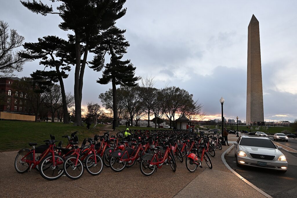
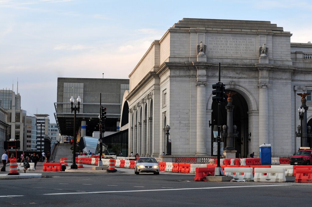
Washington regularly ranks among the most congested regions in the United States, and the city itself adds a layer of complexity that visitors do not expect. The traffic circles, where several avenues meet with inner and outer lanes and underpasses, are genuinely confusing on a first attempt. Reversible and rush-hour rules change roads by the hour: Rock Creek Parkway runs one way inbound in the morning and outbound in the evening, parking lanes on major arteries become travel lanes at rush hour, and turns that are legal at noon are banned at 5 p.m. Security closures around the White House, the Capitol and embassies, for motorcades, demonstrations and state visits, can shut streets without notice. And the Capital Beltway, I-395 and I-66 are congested for long stretches of every weekday, with the evening rush often starting before 4 p.m.
Parking
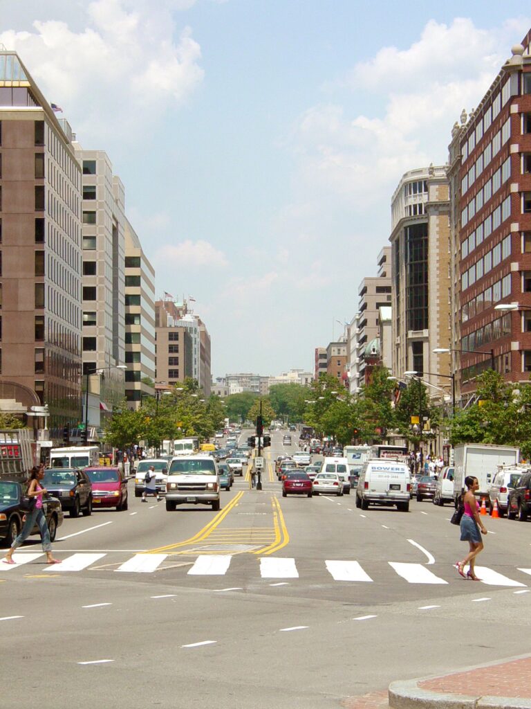
Hotel parking downtown is expensive, usually valet only, and charged per night; commercial garages are cheaper, especially if booked through an app, but still add up over a few days. Street parking is metered in commercial areas, typically Monday to Saturday and into the evening in busy neighborhoods, and paid through the ParkMobile app or the meter; many meters are free on Sundays, but read every sign. Residential streets are largely restricted to two hours for non-residents, and rush-hour no-parking zones are enforced by tow truck, which is the costliest mistake a visitor can make. Around the Mall, the handful of metered spaces fill early, and there is effectively nowhere to park near the most popular museums on a spring weekday. Arlington National Cemetery and Mount Vernon have their own paid lots, and Old Town Alexandria has garages near King Street.
Rules and conditions worth knowing
- Cameras. DC has one of the densest networks of automated speed, red-light, stop-sign and bus-lane cameras in the country. Fines follow the car, and the rental company will bill you, with an administrative fee.
- No turn on red. Right turns on red are prohibited at a large and growing number of DC intersections; obey the signs, which are everywhere.
- Tolls and express lanes. I-66 inside the Beltway is tolled in the peak direction during rush hours, and the Express Lanes on I-495 and I-95 in Virginia charge dynamic tolls; all require an E-ZPass or the rental company’s toll program. The Dulles Toll Road charges tolls, while the Dulles Access Road beside it is free for airport traffic.
- Parkways. The George Washington Memorial Parkway, the Baltimore-Washington Parkway and Rock Creek Parkway are scenic National Park Service roads with lower speed limits and no commercial vehicles.
- Snow. A modest snowfall can bring the region to a standstill; if a storm is forecast, stay off the roads and take the Metro.
- Conditions. The District Department of Transportation, DDOT, posts closures and work zones in the city, and 511 Virginia covers the Virginia highways and express lanes.
When renting a car makes sense
- Mount Vernon and the Potomac. The drive down the George Washington Memorial Parkway past Old Town Alexandria is one of the prettiest in the region, and it is the easiest way to see Mount Vernon and Great Falls in a day.
- Shenandoah National Park and Skyline Drive, about 90 minutes west, are car-only, and October’s foliage is spectacular.
- Harpers Ferry, Antietam and Gettysburg, the Civil War sites to the northwest and north, are easiest by car and combine well in one long day.
- Annapolis, the Chesapeake and the Delaware beaches. The Eastern Shore and the Atlantic beaches are two to three hours east across the Chesapeake Bay Bridge.
- The Udvar-Hazy Center near Dulles is reachable by the Silver Line and a connecting bus, but much easier by car.
- Family in the suburbs beyond the Metro lines in Maryland and Northern Virginia.
- East Coast road trips. Philadelphia is about 225 km (140 miles) up I-95; our Washington, DC to Philadelphia route guide covers the drive and its tolls.
If any of those apply, our rental car booking tips cover insurance, deposits and the questions to ask at the counter, and our family car rental guide looks at vehicle choice.
When it does not
- Your plans are the Mall, the museums, the Capitol, Georgetown and the neighborhoods.
- You are staying downtown, where overnight parking adds substantially to the room rate.
- You are in town for a conference, a game at Nationals Park or Capital One Arena, or the Fourth of July, when the Metro is far faster than any road.
- Your day trips are Baltimore, Philadelphia or New York, which are faster and more relaxing by train.
The hybrid plan for a city-plus-countryside trip
Go car-free for the city days and rent only for the days you leave, and think about where you pick up. Renting at Reagan National is a smart trick even if you arrived days earlier: ride the Metro back to the airport, pick up a car, and you are on the George Washington Memorial Parkway toward Mount Vernon or on I-66 toward Shenandoah in minutes, without driving through downtown. Neighborhood rental offices downtown and in Arlington avoid airport fees but mean driving out through city traffic. For a trip heading west to Shenandoah and Harpers Ferry, Dulles is well placed; for Annapolis or Baltimore, BWI. A common pattern: arrive by Metro or train, spend three car-free days in the city, rent at Reagan National for a day or two in Virginia, and return it at the airport before your flight, or drop it and take the Metro back to your hotel. Book ahead for spring, October and holiday weekends. Compare the day rates on our Washington, DC car rental page against a full-trip rental and the difference is usually obvious.
A worked cost comparison
Numbers change with the season and the booking window, so treat this as a method rather than a quote, and check current rates before deciding. For a four-night city break downtown for two people, the car-free version costs Metro rides from the airport, a couple of day passes or pay-as-you-go fares, and perhaps a few ride-hail trips back from Georgetown or Adams Morgan at night; the rental version adds four days of a compact car, four nights of valet parking at downtown rates, fuel, and the constant risk of camera fines and tow-away zones, and buys you nothing the Metro does not already provide. The car-free option wins by a wide margin. For the same four nights plus a day at Mount Vernon and a day in Shenandoah, the hybrid version adds a two-day rental picked up at Reagan National, fuel, the park entrance fee and parking at Mount Vernon, and it is clearly cheaper and more flexible than tours for two people. For a family of four visiting relatives in the suburbs for a week, a full-trip rental, picked up at whichever airport is closest to the relatives, usually beats a week of long Metro rides and ride-hail. Run the rental rates for your dates on our Washington, DC car rental page and put them beside the transit costs before you choose.
Driving out of Washington in each season
The day trips around Washington are some of the best in the East, but the roads out of the city change with the seasons. In spring, the parkways are at their loveliest, with redbuds and dogwoods along the Potomac, but cherry blossom weekends choke the roads around the Tidal Basin and the George Washington Memorial Parkway near the airport; leave early and go on a weekday. In summer, the beach traffic toward the Chesapeake Bay Bridge on Friday afternoons and back on Sunday afternoons is legendary, afternoon thunderstorms bring sudden downpours, and the Blue Ridge is a welcome escape from the heat of the city. In fall, Skyline Drive in Shenandoah is the region’s great foliage drive, peaking around mid-October, and weekend traffic at the park entrances can back up for long stretches, so arrive early or go mid-week; Gettysburg and Harpers Ferry are at their best in the same weeks. In winter, the highways are usually clear, but a snowstorm can close Skyline Drive and turn the Beltway into a parking lot, and rental cars come with all-season tires, not winter ones. In every season, avoid leaving or returning to the city between about 3:30 and 7 p.m. on weekdays, when the Beltway, I-66, I-95 and I-270 are all at their worst.
Decision table
| Your trip | Recommendation | Why |
|---|---|---|
| City break, couple or solo | No car | The Metro, walking and Capital Bikeshare cover everything; parking is expensive |
| Conference, game or the Fourth of July | No car | Streets close, parking vanishes, and the Metro stops at the door |
| City plus Mount Vernon or Shenandoah | Hybrid: rent at Reagan National for those days | Car-free city days, a quick escape to the parkways |
| Baltimore, Philadelphia or New York | Train | Amtrak and MARC from Union Station are faster than I-95 |
| Family visit to the suburbs | Rent for the whole stay | Suburban distances beyond the Metro make a car worthwhile daily |
| Young children and lots of gear | Metro in the city, rent for day trips | Every station has elevators; a car helps only outside the core |
| East Coast road trip | Rent (consider one-way) | Washington is one stop, not the destination |
| Staying in Arlington or Alexandria | No car, or rent for day trips | The Blue and Yellow lines reach the Mall in minutes |
Money-saving tips for both options
- On transit: buy an unlimited pass for heavy sightseeing days, travel outside the weekday rush hours when fares are lower, remember to tap out, and use the free museums as air-conditioned rest stops between stations.
- On a rental: rent only for the days you leave the city, compare airport and neighborhood pickup, use the rental company’s toll program or your own E-ZPass for the express lanes, and decline extras you already have through a credit card or home policy (check first).
- On the hotel: if you are renting, price the parking fee into the room rate, or choose a hotel in Arlington or Alexandria where parking is cheaper and the Metro is close.
- On timing: avoid the weekday rush hours and summer Friday afternoons toward the beaches; the best time to fly to Washington, DC guide lists the busiest weekends.
- On fines: obey every speed limit and turn restriction, because the cameras are everywhere and the rental company adds a fee to each ticket.
Frequently asked questions
Is it worth renting a car in Washington, DC?
Not for the city. The Metro reaches nearly every sight, parking is expensive and traffic is heavy. Rent only for day trips to Mount Vernon, Shenandoah, Harpers Ferry or Gettysburg.
Is the Washington Metro good for tourists?
Very. It serves the Mall, Capitol Hill, Arlington, Dupont Circle, Navy Yard and two of the three airports. The main gap is Georgetown, which is a short walk or bus ride from the nearest stations.
How do I get from Reagan National Airport to downtown?
Take the Blue or Yellow Line from the airport’s own Metro station; the Mall and downtown are 15 to 25 minutes away. A taxi takes about the same outside rush hour.
How do I pay for the Metro?
With a SmarTrip card from a station machine or SmarTrip in your phone’s wallet; contactless bank cards are being introduced. Tap in and tap out, because the fare is calculated at the exit.
Can I get to Mount Vernon without a car?
Yes, by a tour, by bike along the Mount Vernon Trail, or by seasonal boat from the Wharf or Old Town Alexandria. A car is simplest if you also want Great Falls or Old Town on the same day.
Is parking expensive in Washington, DC?
Downtown, yes: hotel valet parking is costly and street parking is limited, time-restricted and strictly enforced. It is cheaper across the river in Arlington and Alexandria.
Is it hard to drive in Washington, DC?
It is harder than most visitors expect, because of the traffic circles, rush-hour lane rules, security closures and automated cameras. Outside the city, the parkways and highways are straightforward, apart from the congestion.
Whichever way you go, start with the flight. Compare cheap flights to Washington, DC across all three airports, choose a neighborhood with our Washington, DC hotel search, and if the countryside is on the list, price the rental for those days on our Washington, DC car rental page. For what to see once you are here, our first-timer’s guide to Washington, DC has the plan.
Keep planning with TicketScanner
- Washington, DC car rentals — rent only for the days you leave the city
- Cheap flights to Washington, DC
- Washington, DC hotels — choose one near a Metro station
- Things to do in Washington, DC: a first-timer's guide
- Best time to fly to Washington, DC: month by month
- Reagan National (DCA) airport guide
- Driving Washington, DC to Philadelphia
- Rental car booking tips
- Car, transit or taxi in a new city?
Leave a Reply