Phoenix is one of the most car-dependent big cities in the United States, and for most visitors the honest answer to “should I rent a car?” is yes. The metro area sprawls across a desert valley roughly the size of a small state, the attractions are spread between Phoenix, Scottsdale, Tempe, Mesa and a dozen other cities, the best trailheads have no transit at all, and Sedona and the Grand Canyon, the reasons many people fly here, are road trips. But there are real exceptions. Sky Harbor is only a few kilometers from downtown and is linked to the light rail by a free airport train, the light rail runs through the three most walkable districts in the Valley, driverless robotaxis and ride-hail cover the gaps, and a visitor on a downtown conference, a Tempe stay or a resort break may barely need a car at all. This guide explains how the Valley is laid out, how Valley Metro and its fares work, what driving here is really like in the heat and the monsoon, when a car earns its keep, and gives you a straightforward way to decide.
The short answer
Rent a car if Sedona, the Grand Canyon, Tucson or any other day trip is on the itinerary, if you want to hike Camelback, South Mountain or the McDowell Sonoran Preserve at dawn, if you are staying in Scottsdale, the suburbs or with family, if you are following several teams around the Cactus League ballparks, or if you are traveling with children. That is most visitors. Skip the car if you are staying downtown, in Roosevelt Row or in Tempe for a conference, a game, a concert or a short city break, and your plans are the museums, the ballpark, the arts district, Mill Avenue and the airport; the light rail, your feet and the occasional ride-hail will cover that, and you will not pay for parking. And if you are staying at a resort and plan to spend most of the time by the pool, ride-hail for the occasional outing is often cheaper than a car sitting in a valet lot. Compare rental rates for any of these plans on our Phoenix car rental page.
How Phoenix is laid out
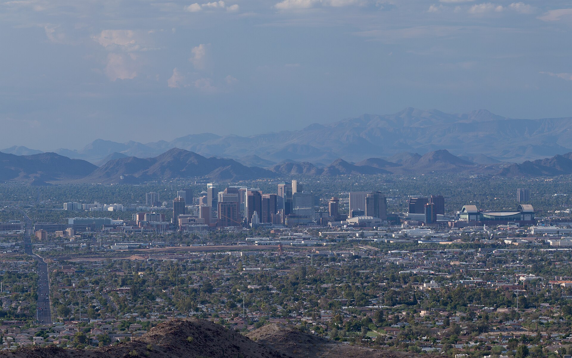
Phoenix and its neighbors fill a broad, flat valley ringed by mountains, and almost all of it is laid out on a single grid. In Phoenix, Central Avenue divides east from west and Washington Street divides north from south; numbered Streets run north-south east of Central, and numbered Avenues run north-south west of it, so 16th Street and 16th Avenue are about 5 kilometers (3 miles) apart. The major arterials fall roughly every mile, which makes navigation easy and distances long. Downtown sits near the center of the city, with Roosevelt Row immediately north and Sky Harbor immediately east. Tempe and Arizona State University are a short hop southeast of the airport, Mesa beyond them, Scottsdale to the northeast, and the West Valley cities of Glendale, Peoria, Goodyear and Surprise to the west, where many spring training ballparks and the Cardinals’ stadium sit. A web of freeways links it all: I-10 and I-17 meet west of downtown at the interchange locals call the Stack, and the Loop 101, Loop 202 and Loop 303 ring the Valley, with SR 51 and US 60 filling in.
Hotels cluster downtown around the convention center and the ballpark, near the airport, along the Camelback corridor, in Old Town Scottsdale and the resort belt north of it, in Tempe, and in the Roosevelt Row area. Our Phoenix hotel search lets you compare them.
Getting in from the airport
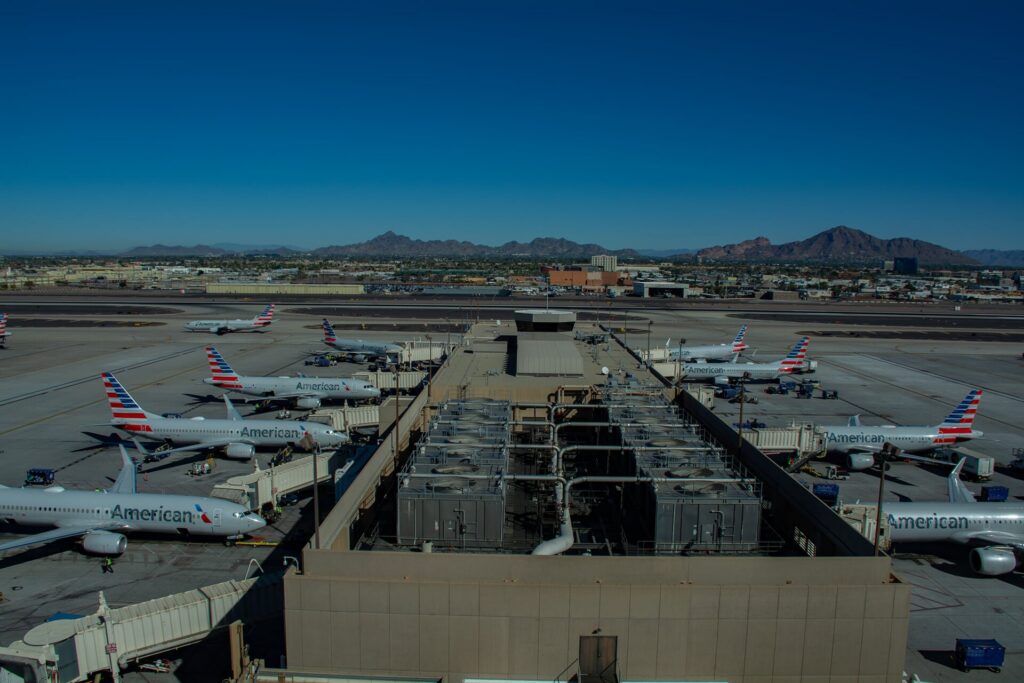
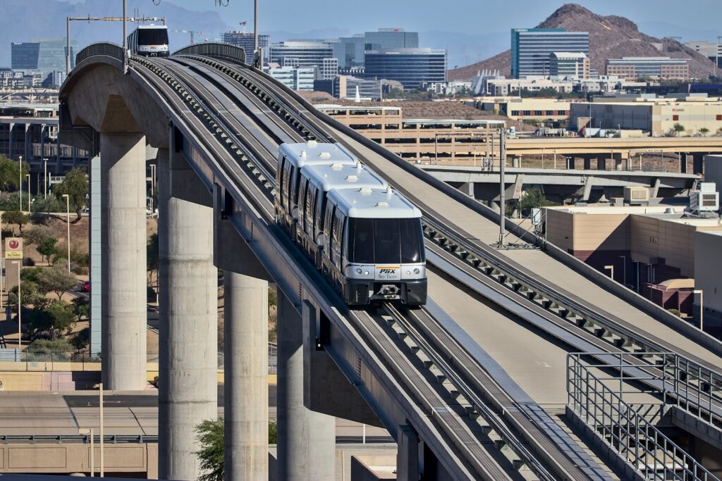
Phoenix Sky Harbor International (PHX) is about 5 kilometers (3 miles) east of downtown, and getting into the city is unusually easy. The free PHX Sky Train runs around the clock between Terminals 3 and 4, the East Economy parking area, and the 44th Street station, where you change to the Valley Metro light rail for downtown Phoenix, Tempe or Mesa; the trip downtown takes around half an hour including the change. The Sky Train also connects to the Rental Car Center, the consolidated facility west of the terminals where every major company has its counters, and shuttle buses run there as well. Taxis and ride-hail pick up at marked zones outside each terminal, and the drive downtown takes 10 to 15 minutes outside rush hour; driverless Waymo robotaxis also serve the airport. For Scottsdale, allow 20 to 30 minutes by car, and for the West Valley 30 to 45. Check the airport’s site for current ground-transport details; our PHX airport guide covers the layout.
Phoenix transit, explained
Valley Metro runs the light rail, the Tempe Streetcar and most of the bus network across the region. It is clean, air-conditioned and straightforward, and along its core corridor it is a genuinely useful way for a visitor to get around; its limitation is coverage, because a single rail system cannot serve a metro area this spread out, and the buses that fill in the rest run on the mile grid at frequencies that suit commuters more than sightseers.
The light rail
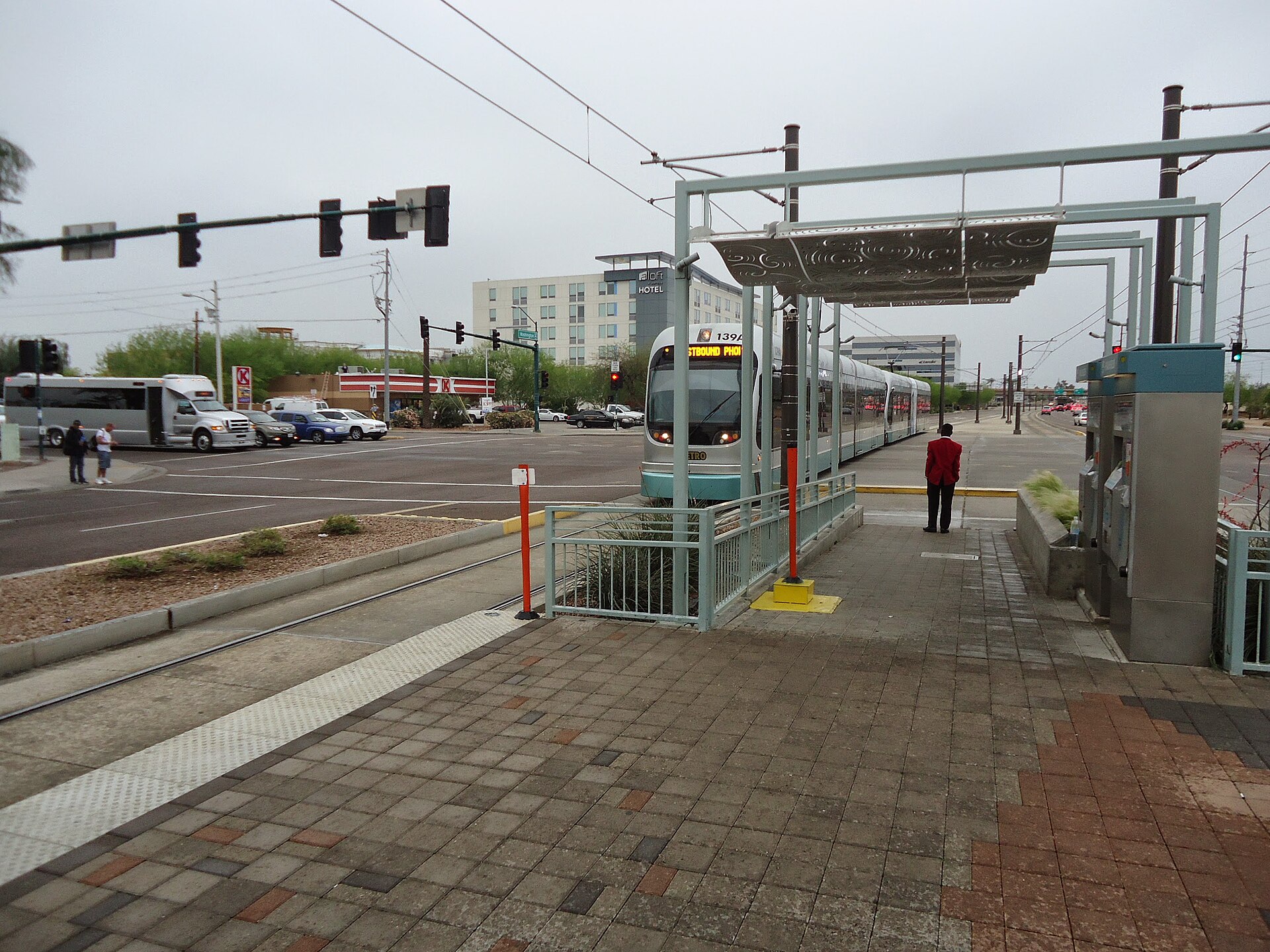
The light rail runs for more than 40 kilometers (25 miles) through the heart of the Valley. From the east, it starts in Mesa, runs through downtown Mesa and Tempe, past Arizona State University and Tempe Town Lake, crosses to the 44th Street station for the airport, and continues along Washington and Jefferson Streets into downtown Phoenix, stopping near Chase Field, the convention center and the downtown arena. From downtown it turns north along Central Avenue past Roosevelt Row, the Heard Museum and the Phoenix Art Museum, and on to north Phoenix, and since the South Central extension opened in 2025, a branch also runs south from downtown along Central Avenue toward South Mountain. The system operates as two lines that share tracks through downtown; check Valley Metro’s map for the current line names and end stations. Trains run from early morning until late evening, roughly every 12 to 20 minutes depending on the time of day.
Streetcar and buses
The Tempe Streetcar loops through downtown Tempe, along Mill Avenue and past the lake and the university, connecting to the light rail. Valley Metro’s buses run along most of the major arterials on the mile grid, with express routes to the suburbs; they reach places like the Desert Botanical Garden and the Phoenix Zoo, but frequencies drop in the evenings and on weekends, and waiting at a bus stop in summer is hard work. Check the timetable before relying on a bus for a return trip.
Fares and tickets
One fare system covers the light rail, streetcar and local buses. Buy single rides or a day pass from the ticket machines on every light-rail platform, or use the Valley Metro app on your phone, and keep your ticket with you, because fare inspectors check on board. A day pass is the best value for a sightseeing day with several rides, and reduced fares are available for seniors and younger riders. Check Valley Metro’s site for current fares and payment options before you go.
Accessibility
Every light-rail station is level-boarding and step-free, and the fleet of trains, streetcars and buses is accessible; the stations have shade structures, which matter more here than almost anywhere.
Beyond Valley Metro
- Free circulators. Several cities run free neighborhood shuttles: the Scottsdale Trolley loops Old Town and the resort corridor, and Tempe’s Orbit buses serve the neighborhoods around the university. They are handy for short hops once you are in those districts.
- Ride-hail and robotaxis. Uber and Lyft operate across the Valley, and Phoenix is one of the places where driverless Waymo robotaxis carry the public, across much of Phoenix, Scottsdale, Tempe, Mesa and Chandler. For short trips, especially in a group, ride-hail is competitive with transit and much faster to places the light rail does not reach.
- Walking and cycling. Downtown, Roosevelt Row, Old Town Scottsdale and Mill Avenue are walkable, and paths along the canals and around Tempe Town Lake are good for cycling in the cooler months; shared bikes and e-scooters operate in parts of the Valley. In summer, walking more than a few blocks in the afternoon is not advisable.
- Tours. Day tours to Sedona and the Grand Canyon pick up from hotels across the Valley, and they are the main alternative to driving for visitors who want the canyon without the car; the Grand Canyon Railway from Williams, about three hours north, is another.
- Intercity travel. Buses connect Phoenix with Tucson, Flagstaff, Las Vegas and Southern California. Amtrak does not serve Phoenix itself; the nearest station is in Maricopa, about 55 kilometers (35 miles) south.
Driving in Phoenix: what it is really like
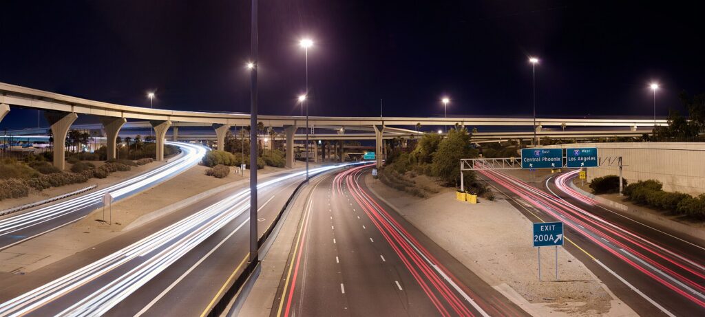
By the standards of most large American cities, Phoenix is easy to drive: a logical grid, wide arterials, a dense freeway network, good signage and plentiful parking outside the busiest districts. The frustrations are specific. Weekday rush hours, roughly 6 to 9 a.m. and 3:30 to 6:30 p.m., slow I-10 through Tempe and the West Valley, I-17 north of downtown, SR 51, and the Loop 101 through Scottsdale and Tempe. Big events, from spring training and the Phoenix Open to Cardinals games in Glendale, bring heavy traffic around the venues. Construction is constant on a freeway network that is still growing. And the distances are long: a trip from a Scottsdale resort to a ballpark in Goodyear can take the best part of an hour.
Parking
Parking in Phoenix is easier and cheaper than in most big cities. Downtown has metered street parking and many garages, which get busy and more expensive on game and concert nights. Old Town Scottsdale has free public parking garages, with time limits on some spaces. Tempe’s Mill Avenue area has garages and metered streets. The resorts usually charge for self-parking or valet, sometimes folded into the resort fee, so check before you book. Trailhead parking is the real challenge: the small lots at Camelback’s Echo Canyon and Cholla trails and at Piestewa Peak fill early on cool-season weekends, often before sunrise, so arrive early or use ride-hail. At Sky Harbor, the economy lots are linked to the terminals by the Sky Train.
Rules and conditions worth knowing
- The heat and your car. A parked car becomes dangerously hot within minutes in summer; never leave a child or a pet inside, even briefly. Use a windshield sunshade, cover the steering wheel and seats, keep extra water in the car, and remember that batteries and tires are more likely to fail in extreme heat, so do not skip the rental company’s warning lights.
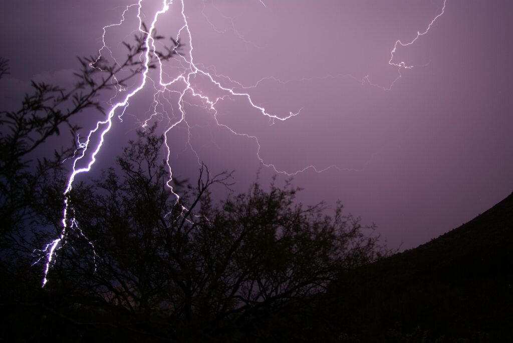
- Dust storms. During the monsoon, a haboob can cut visibility to near zero on the freeway in seconds. ADOT’s advice is to pull as far off the road as you safely can, turn off all your lights, set the parking brake and take your foot off the brake pedal so that other drivers do not follow your taillights, and wait until it passes.
- Flooded washes. Never drive into a flooded road or wash, even if it looks shallow; the water can be far deeper and faster than it appears. Under Arizona’s so-called Stupid Motorist Law, drivers who go around barricades into flooded areas can be billed for the cost of their rescue.
- Cameras. Several Valley cities, notably Scottsdale and Paradise Valley, use speed and red-light cameras on city streets; fines follow the car and the rental company will bill you, often with a fee.
- Phones. Arizona law bans holding a phone while driving; use a mount and hands-free mode.
- HOV lanes. The carpool lanes on the freeways are restricted to vehicles with two or more people during weekday rush hours and open to everyone at other times; check the signs.
- Right turns on red are permitted after a full stop unless signed otherwise.
- Road conditions. AZ511, run by the Arizona Department of Transportation, publishes closures, crashes and weather alerts, including snow on I-17 and I-40 in the high country.
When renting a car makes sense
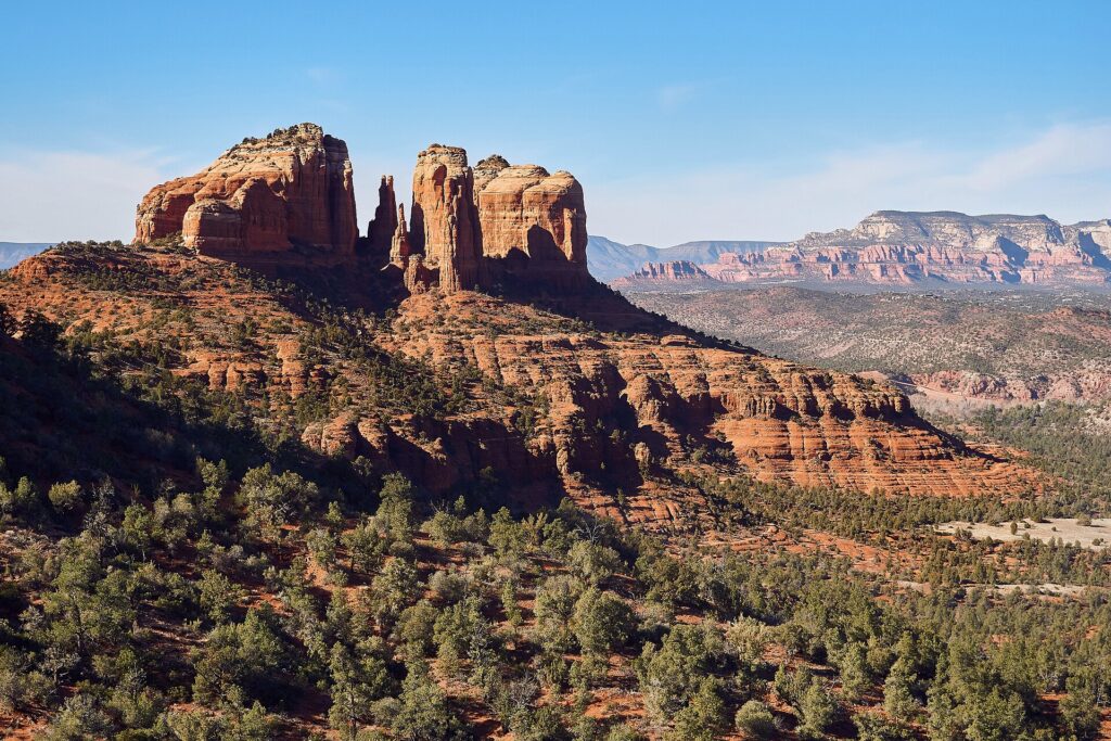
- Sedona and the Grand Canyon. Sedona is about two hours north on I-17 and the Grand Canyon’s South Rim three and a half to four hours; a car lets you reach the trailheads early and stop at Montezuma Castle and Jerome along the way. Many Sedona trailhead lots require a Red Rock Pass, and the national park charges a vehicle entrance fee.
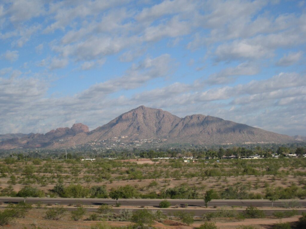
- Sunrise hikes. Camelback, Piestewa Peak, South Mountain and the McDowell Sonoran Preserve are best at first light, before the heat, when transit is not running to them and ride-hail can be slow to arrive.
- Scottsdale and the resort belt. The resorts, Taliesin West, the Musical Instrument Museum and the golf courses are spread across the northeast Valley, well away from the light rail.
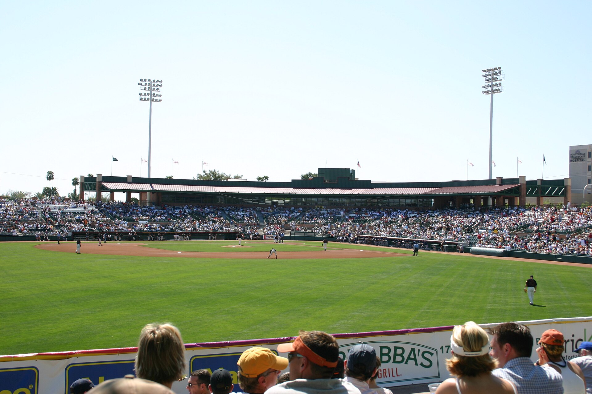
- Spring training. Ten ballparks across the Valley, several in the West Valley far from the rail line; a car makes a ballpark tour easy.
- Families. Car seats, pool bags and the summer heat all argue for a car, and our family car rental guide looks at vehicle choice.
- Road trips. Tucson, Las Vegas via the Hoover Dam, San Diego and Southern California; our Phoenix to San Diego route guide and Las Vegas to Phoenix route guide cover two classics.
If any of those apply, our rental car booking tips cover insurance, deposits and the questions to ask at the counter.
When it does not
- You are staying downtown, in Roosevelt Row or in Tempe, and your plans are along the light rail.
- You are in town for a convention, a Suns or Diamondbacks game, or a concert downtown, when parking near the venues is at its most expensive and the light rail stops beside them.
- You are staying at a resort and plan to spend most of your time by the pool and the spa, with ride-hail for the occasional dinner.
- You want the Grand Canyon for a day and are happy to take an organized tour.
The hybrid plan for a city-plus-desert trip
Go car-free for the city days and rent for the day trips, and think about where you pick up. Every major company operates from the Sky Harbor Rental Car Center, which is convenient but adds airport fees and surcharges, some of which have long helped fund the region’s sports venues. Neighborhood rental offices in Phoenix, Tempe and Scottsdale avoid some of those charges and make sense if you are spending the first nights in the city. A pattern that works well: take the Sky Train and light rail or a ride-hail to your hotel, spend two or three car-free days downtown and in Tempe, pick up a car from a city location for Scottsdale, a sunrise hike and a night in Sedona or at the Grand Canyon, and return it to the airport on the way to your flight home, which many companies allow at little or no extra cost. Book early for February and March, when the Rental Car Center can run short of cars. Compare the day rates on our Phoenix car rental page against a full-trip rental and the difference is usually obvious.
A worked cost comparison
Numbers change with the season and the booking window, so treat this as a method rather than a quote, and check current rates before deciding. For a three-night city break downtown for two people, the car-free version costs two light-rail day passes each and perhaps three or four ride-hail trips to the Desert Botanical Garden, Old Town Scottsdale and back; the rental version adds three days of a compact car, airport fees and surcharges, three nights of hotel parking and fuel, and buys you little you could not reach otherwise. The transit option wins. For a four-night stay with a day in Sedona, the car-free version adds an organized Sedona tour for two; the hybrid version adds a one-day rental from a city location, fuel and a Red Rock Pass. For two people the rental is usually cheaper than the tour and far more flexible; for one person the tour can be competitive. For a week at a Scottsdale resort with golf, hiking and the Grand Canyon, a rental for the whole stay is the only practical answer, and the airport pickup, despite the surcharges, is simpler than paying for ride-hail across the Valley every day. Run the rental rates for your dates on our Phoenix car rental page and put them beside the tour and ride-hail costs before you choose.
Driving out of Phoenix in each season
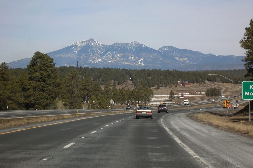
The highways out of Phoenix are good, but they cross some of the most extreme terrain in the country, and conditions change fast with altitude and season. I-17 north to Sedona and Flagstaff climbs from the desert floor to over 2,000 meters (about 7,000 feet) near Flagstaff in about two hours; in summer it is the escape route, jammed northbound on Friday afternoons and southbound on Sunday afternoons, and in winter the upper stretch and I-40 can be snowy or icy while Phoenix is sunny and warm, so check AZ511 before you leave and ask for an all-wheel-drive car if snow is forecast. US 93 northwest to Las Vegas runs through Wickenburg and Kingman and crosses the Colorado River on the bridge beside the Hoover Dam; it is about five hours, remote in places, and fuel stops are far apart. I-8 west to San Diego crosses the low desert past Gila Bend and Yuma, some of the hottest country in North America in summer, before climbing through the mountains east of San Diego; about five and a half hours in all, and Border Patrol checkpoints operate on some highways in the borderlands, so carry ID. I-10 runs southeast to Tucson in about two hours and west to Los Angeles. In summer, the risk on every route is the heat: a breakdown in the desert is dangerous, so start with a full tank, carry plenty of water, keep your phone charged, and stay with the car if it breaks down. During the monsoon, add dust storms and flash floods. In winter, the low desert is perfect for driving, and the high country needs respect. For the canyon, Grand Canyon National Park posts current road and weather conditions.
Decision table
| Your trip | Recommendation | Why |
|---|---|---|
| City break downtown or in Tempe | No car | The light rail links the airport, downtown, Roosevelt Row and Tempe |
| Convention or game downtown | No car | The light rail stops beside the venues; event parking is expensive |
| Resort stay, mostly by the pool | No car, ride-hail for outings | Avoids resort parking fees for a car you rarely use |
| Scottsdale, golf and sunrise hikes | Rent for the whole stay | Resorts, courses and trailheads are far from transit |
| City plus Sedona or the Grand Canyon | Hybrid: rent from a city location for the trip days | Car-free city days, car for the high country |
| Grand Canyon without driving | Organized tour | Hotel pickup and no long drive |
| Spring training ballpark tour | Rent at the airport | Ten ballparks spread across the Valley |
| Arizona or Southwest road trip | Rent (consider one-way to Las Vegas or San Diego) | Phoenix is the start, not the destination |
Money-saving tips for both options
- On transit: the Sky Train is free; buy a day pass for a heavy sightseeing day on the light rail; use the free Scottsdale Trolley and Tempe Orbit once you are in those districts.
- On a rental: compare airport and neighborhood pickup, book early for February and March, decline extras you already have through a credit card or home policy (check first), and buy the Red Rock Pass or national park pass in advance where you can.
- On the hotel: if you are renting, price the parking or resort fee into the room rate, and look at resorts whose fees include parking.
- On timing: avoid the freeways in the weekday rush hours, I-17 northbound on summer Friday afternoons and southbound on Sunday afternoons; the best time to fly to Phoenix guide lists the busiest weeks, and for a wider Southwest trip our guide to whether you need a car in Las Vegas covers the other end of the drive.
- On ride-hail: for a group of three or four on a short trip, a single ride often costs less than four transit fares and saves waiting in the heat.
Frequently asked questions
Is it worth renting a car in Phoenix?
For Scottsdale, the trailheads, the ballparks, Sedona and the Grand Canyon, yes, and that is most visitors. For a downtown or Tempe stay built around the light rail, no.
Is Phoenix public transit good for tourists?
Good along its core corridor: the light rail links the airport’s Sky Train, Tempe, downtown, Roosevelt Row and the Heard Museum. It thins out quickly beyond that, and the buses are slow for sightseeing.
How do I get from Phoenix Sky Harbor to downtown?
The free Sky Train to the 44th Street station and then the light rail, in about half an hour, or a taxi, ride-hail or robotaxi in 10 to 15 minutes outside rush hour.
Can I get to Sedona or the Grand Canyon without a car?
Yes, on organized day tours that pick up from Phoenix hotels, or by combining an intercity bus with local tours. A car gives you far more flexibility.
Is it safe to drive in Phoenix in summer?
Yes, with precautions: keep water in the car, never leave anyone in a parked vehicle, pull off the road in a dust storm, and never drive into a flooded wash.
Is parking expensive in Phoenix?
Less than in most big cities. Downtown garages cost more on event nights, resorts charge for parking or valet, and Old Town Scottsdale has free public garages.
Do I need a four-wheel drive for Arizona?
Not for the paved highways to Sedona, the Grand Canyon, Tucson, Las Vegas or San Diego. Consider all-wheel drive in winter if snow is forecast for Flagstaff and the high country.
Whichever way you go, start with the flight. Compare cheap flights to Phoenix, choose a neighborhood with our Phoenix hotel search, and if Sedona or the Grand Canyon is on the list, price the rental for those dates on our Phoenix car rental page. For what to do once you arrive, start with our first-timer’s guide to Phoenix.
Keep planning with TicketScanner
- Phoenix car rentals — compare airport and neighborhood pickup
- Cheap flights to Phoenix
- Phoenix hotels — factor parking and resort fees into the rate
- Things to do in Phoenix: a first-timer's guide
- Best time to fly to Phoenix: month by month
- Phoenix Sky Harbor (PHX) airport guide
- Driving Phoenix to San Diego
- Driving Las Vegas to Phoenix
- Las Vegas: do you need a rental car?
- Rental car booking tips