Minneapolis is one of the few mid-sized American cities where a visitor can genuinely get by without a car. A light-rail line runs from both airport terminals straight into downtown, a second line connects downtown with the University of Minnesota and downtown Saint Paul, the core is compact and walkable, and in winter the skyways let you cross dozens of blocks without stepping outside. Add a superb bike network for the lakes and the river, and a city break here is easy on transit. But the Twin Cities are also a spread-out metro built around freeways, the buses thin out beyond the core, and the places many visitors want to see beyond the city, Stillwater, Duluth, the North Shore and the lake country, are car trips. Winter adds its own rules, from snow emergency towing to ice on I-35. This guide explains how the city is laid out, how transit and fares work, what driving here is really like in every season, and gives you a straightforward way to decide.
The short answer
Skip the car if you are staying downtown, in the North Loop or near the river for a city break, a conference, a concert or a game, and your plans are the riverfront, the museums, the lakes, the Mall of America and Saint Paul; the Blue and Green Lines, the skyways, a bike and the occasional ride-hail will cover all of that, and you will save on downtown parking. Rent a car if Duluth, the North Shore, Stillwater, the lake country or the river towns are on the itinerary, if you are staying in the suburbs or with family, if you are traveling with young children and gear in winter, or if Minneapolis is one stop on a Midwest road trip. And for most visitors who want both, the hybrid, a few car-free days in the city and a rental for the days out, is the best value. Compare rental rates for any of these plans on our Minneapolis car rental page.
How Minneapolis is laid out
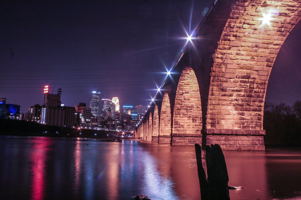
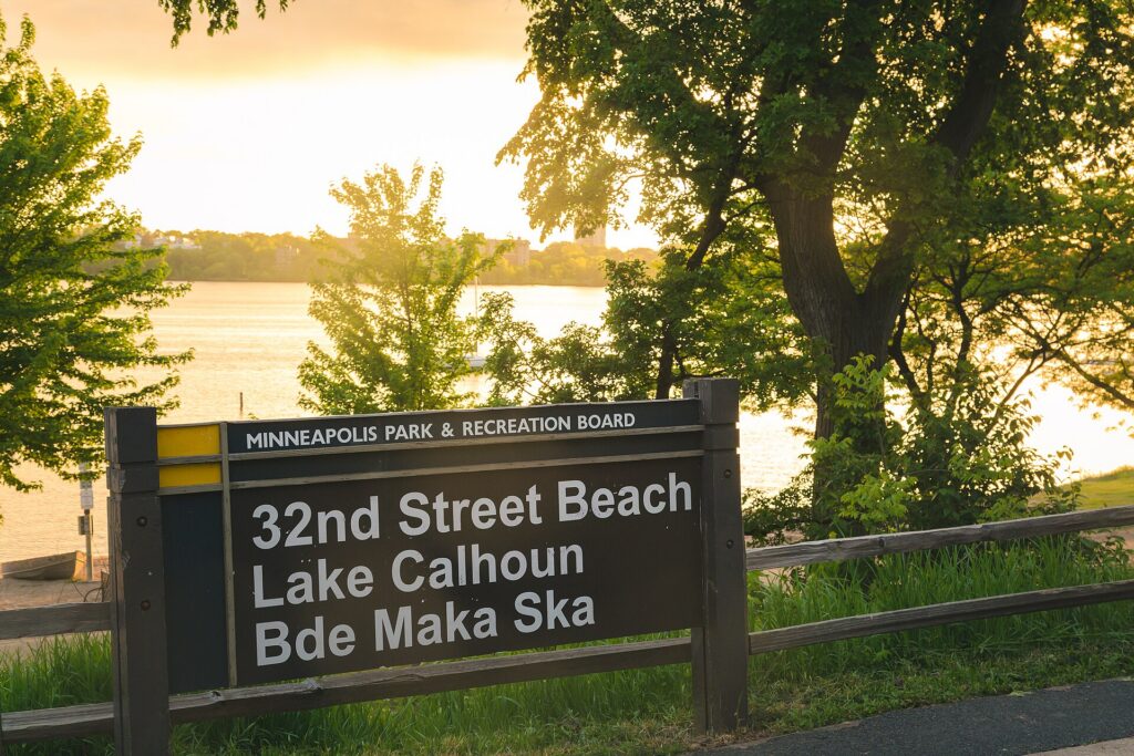
The Mississippi runs through the middle of Minneapolis from north to southeast. Downtown sits on the west bank at St. Anthony Falls, with the North Loop warehouse district on its northwestern edge beside Target Field, and the stadium district of Downtown East on the other side. Across the river are Northeast, the arts and brewery quarter, and the main campus of the University of Minnesota. South Minneapolis, a large grid of numbered streets and named avenues, holds Eat Street, Uptown, Lake Street, the Chain of Lakes and Minnehaha Falls. Saint Paul, the state capital, is about 16 km (10 miles) east along I-94, and the airport and the Mall of America sit in between, to the south. A ring of interstates, I-494 and I-694, circles the whole metro, and I-35 splits in two, running through Minneapolis as I-35W and through Saint Paul as I-35E. The inner city is compact and well served; the suburbs beyond it assume a car.
Hotels cluster downtown along Nicollet Mall and near the convention center, in the North Loop, by the river at St. Anthony Main, near the University, in downtown Saint Paul, and in Bloomington near the airport and the Mall of America, which is also on the Blue Line. Our Minneapolis hotel search lets you compare them.
Getting in from the airport
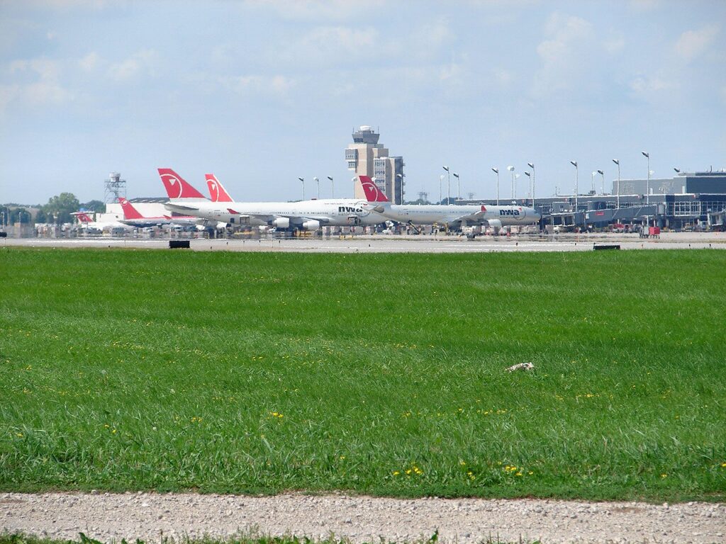
Minneapolis-Saint Paul International (MSP) is about 16 km (10 miles) south of downtown Minneapolis, and it is one of the best-connected airports in the country by rail. The METRO Blue Line light rail stops at both terminals and runs to downtown Minneapolis in about 25 minutes for a standard transit fare, continuing to Target Field station in the North Loop; the ride between Terminal 1 and Terminal 2 is free, which matters because the terminals are not within walking distance of each other. For Saint Paul, a Metro Transit bus runs from Terminal 1 to downtown Saint Paul, or you can take the Blue Line downtown and change to the Green Line. Taxis and ride-hail pick up at both terminals, and the drive to either downtown takes about 20 minutes outside rush hour. The rental counters are in the parking ramps beside each terminal. Check the airport’s site for current ground-transport details and which airlines use which terminal; our MSP airport guide covers the layout.
Minneapolis transit, explained
Metro Transit runs the light rail, the buses and the rapid-bus lines across the Twin Cities. For a visitor based in the core it is entirely adequate; its limitation, as in most American cities, is that service away from the main corridors is less frequent than a visitor from Chicago or New York would expect, and evenings and weekends are thinner still.
The light rail
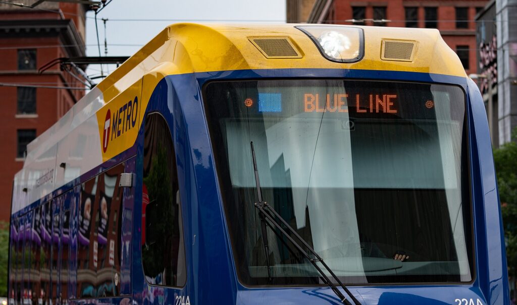
Two lines. The Blue Line runs from Target Field through downtown along 5th Street, then south past Cedar-Riverside, Lake Street and Minnehaha Falls (50th Street/Minnehaha Park station) to Fort Snelling, both airport terminals, and the Mall of America in Bloomington. The Green Line runs from Target Field through downtown on the same tracks, across the river to the University of Minnesota, and then along University Avenue, past the Hmong and Vietnamese restaurants, the soccer stadium and the State Capitol, to Union Depot in downtown Saint Paul, in around 45 minutes end to end. An extension of the Green Line to the southwestern suburbs has been under construction for years; check Metro Transit’s site for its status when you travel. Trains run from early morning until after midnight, with more limited service in the small hours.
Buses and rapid buses
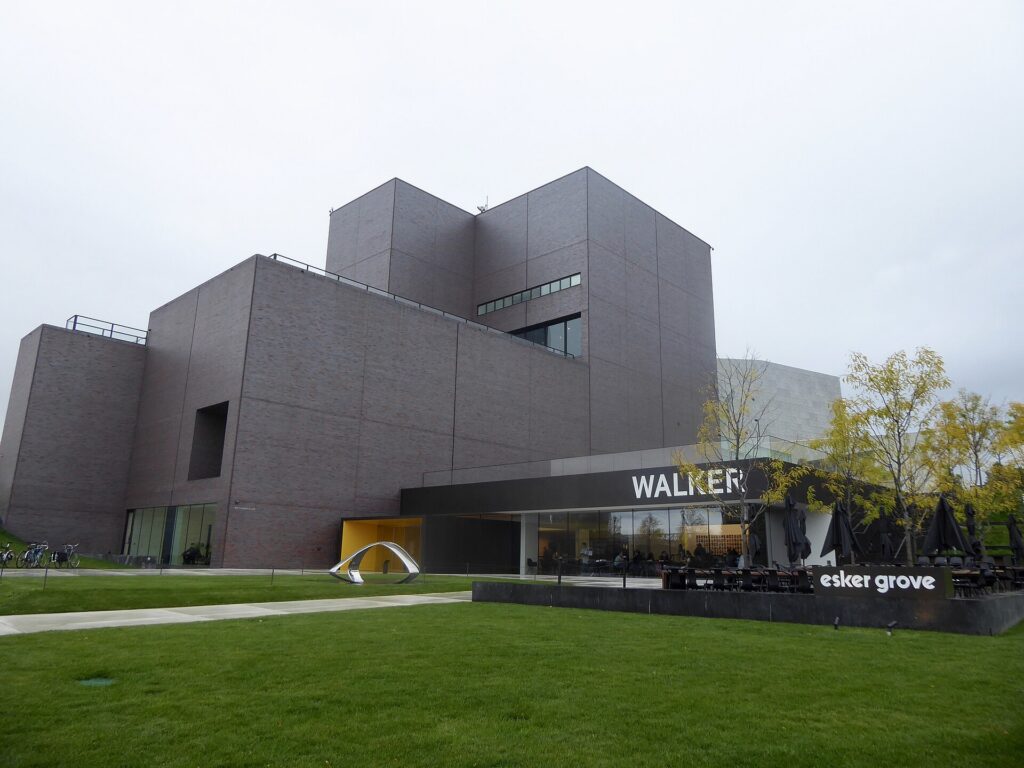
Buses fill in the rest, including the routes to the Walker, Mia, Uptown and the lakes. A growing network of rapid-bus lines, identified by letters and colors, runs on the busiest corridors with fewer stops and ticket machines at the stations. Frequencies drop in the evenings and on weekends outside the core routes; check times before relying on a bus for a late return.
Fares and tickets
Buy tickets from the machines at any light-rail or rapid-bus station, which take cards and cash, or use the Metro Transit app on your phone; a reloadable Go-To card is worth it for a longer stay, and day passes are available. A single fare includes transfers between trains and buses for a set period. The light rail works on proof of payment: there are no turnstiles, so buy before you board, because inspectors check and the fines are steep. Fares are modest by big-city standards; check Metro Transit’s site for current prices before you go.
Accessibility
Every light-rail station is step-free, trains have level boarding, and buses are low-floor with ramps; the skyways are accessible by elevator from most connected buildings.
Beyond Metro Transit
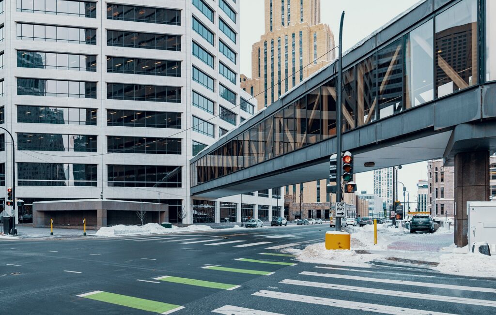
- Walking and the skyways. Downtown, the North Loop and the riverfront are walkable, and the skyway system, roughly 15 km (9.5 miles) of enclosed, heated bridges and corridors one story above the street, connects some 80 blocks of downtown, including hotels, restaurants, the arenas and the convention center. The skyways are owned by the buildings they cross, so hours vary: most are open from early morning into the evening on weekdays, with shorter hours on weekends. Saint Paul has its own, smaller system.
- Bikes. Minneapolis is one of the most bike-friendly cities in the country, with separated paths around the Chain of Lakes, along both banks of the Mississippi, and on the Midtown Greenway, a former rail corridor across South Minneapolis. Shared bikes and e-scooters are widely available in the warmer months.
- Taxis and ride-hail. The main apps and licensed taxis operate across the Twin Cities; for a group, a short ride to Uptown, Northeast or the lakes is competitive with transit and quicker to the places off the rail lines.
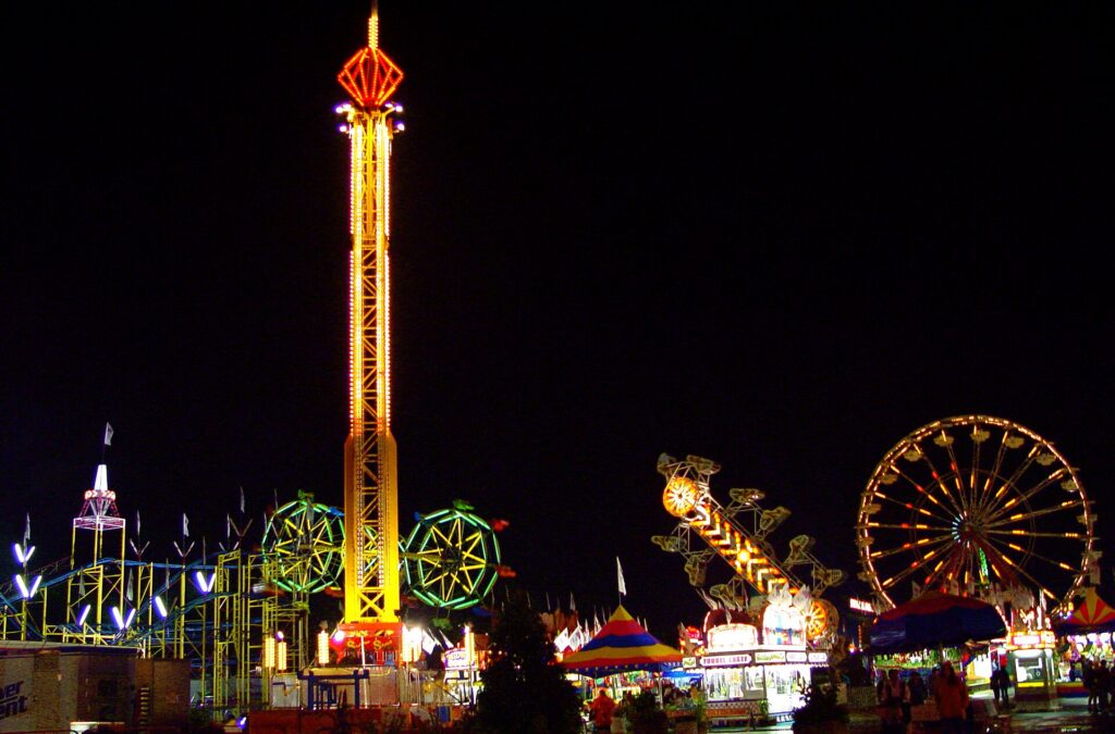
- The State Fair buses. In late August, express buses and free park-and-ride shuttles run to the fairgrounds from across the metro, and they are far easier than driving and parking at the fair.
- Intercity trains and buses. Amtrak runs daily trains between Chicago and Saint Paul’s Union Depot, which is on the Green Line, via Milwaukee; intercity buses connect the Twin Cities with Duluth, Chicago and other Midwest cities.
Driving in the Twin Cities: what it is really like
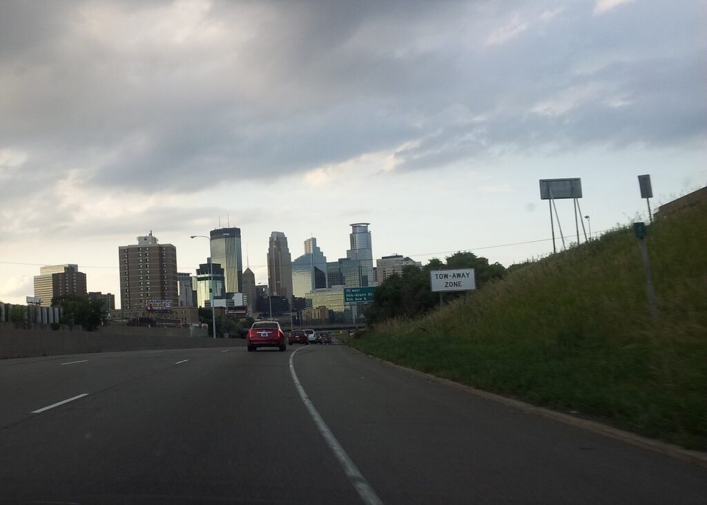
By the standards of the biggest American cities, the Twin Cities are easy to drive: a logical freeway network, plenty of parking outside the downtowns, and drivers who are, on the whole, courteous to the point of indecision at four-way stops. The frustrations are specific. Rush hour on I-94 between the two downtowns, on I-35W, on I-494 near the airport and on the Crosstown (Highway 62) is slow every weekday morning and afternoon. Construction season runs from spring thaw to late fall and closes lanes, ramps and sometimes entire stretches of freeway for weeks. Event traffic around Target Field, U.S. Bank Stadium and Target Center snarls the edges of downtown before and after games. And winter changes everything, from how you drive to where you can park.
Parking
Downtown Minneapolis parking is expensive by Midwest standards, though well below Chicago’s: hotels charge a substantial nightly fee, often valet-only, and the public ramps raise their rates on game and concert nights near the stadiums. On-street meters are common downtown and in the busier neighborhoods, many run into the evening, and you can pay at the meter or by app. Outside the core, parking at the lakes, Minnehaha Falls, the Mall of America and the suburbs is easy and often free, although the lakeside lots fill on summer weekends.
Rules and conditions worth knowing
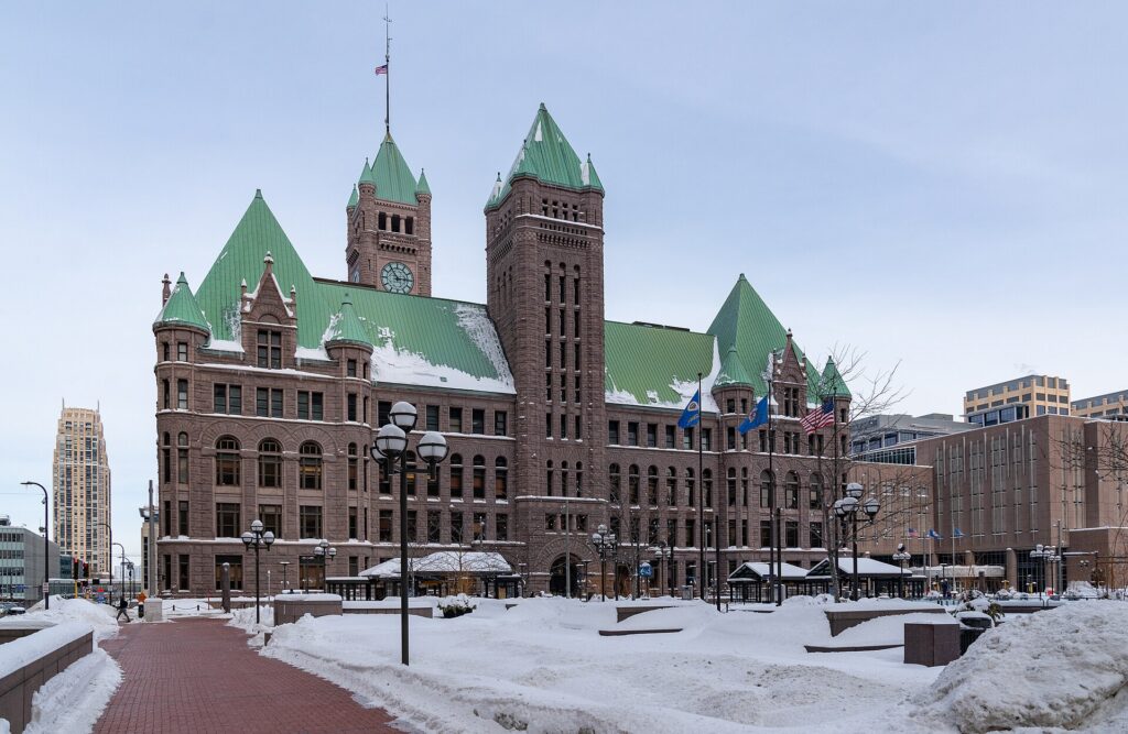
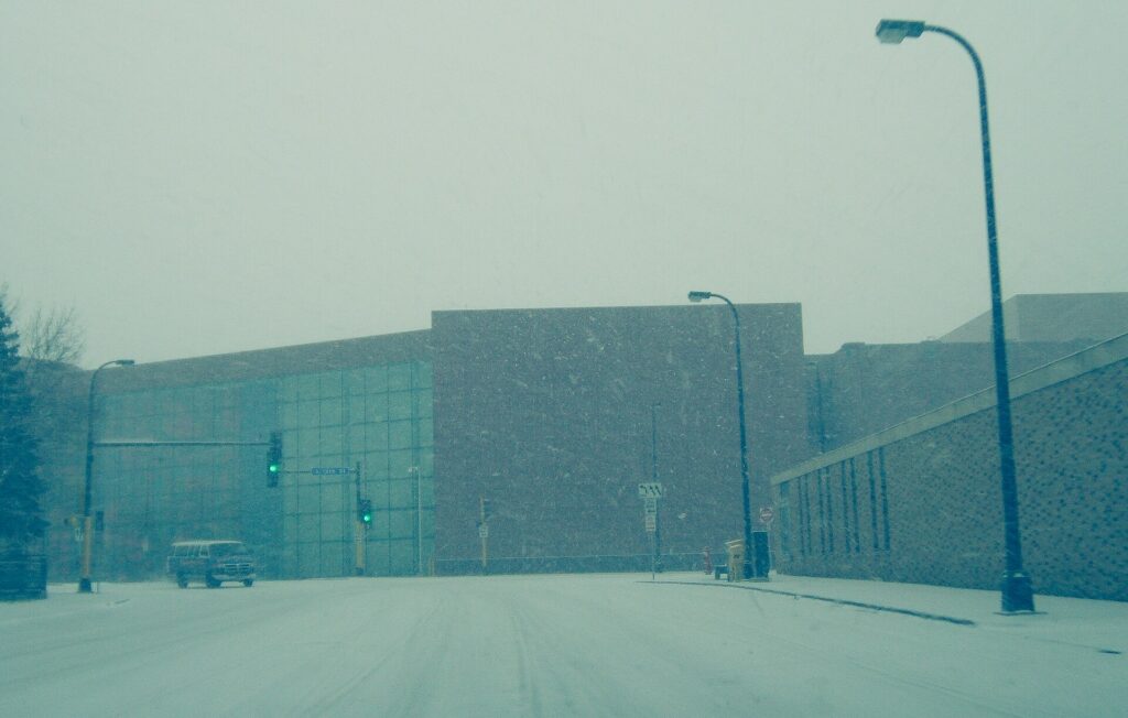
- Snow emergencies. After a significant snowfall, Minneapolis declares a snow emergency with a three-day parking rotation so the plows can clear the streets: from 9 p.m. on day one, no parking on marked Snow Emergency Routes; from 8 a.m. on day two, no parking on the even-numbered side of other streets; from 8 a.m. on day three, no parking on the odd-numbered side. Cars left in the way are ticketed and towed, and visitors are caught every winter. The City of Minneapolis announces emergencies on its site and through text alerts, and Saint Paul runs its own similar system. The simple fix is to park in a hotel lot or a ramp when snow is forecast.
- Winter tires are not required in Minnesota, and rental cars usually come on all-seasons, which is generally fine in the plowed metro. Leave extra following distance, watch for black ice on bridges and ramps, and keep the tank at least half full in the cold.
- Headlights are required whenever it is raining or snowing, not just at night.
- Hands-free law. Holding a phone while driving is illegal in Minnesota; use a mount and voice control.
- Express lanes on I-394, I-35W and I-35E charge solo drivers a variable toll electronically through a transponder; unless your rental includes one, stay in the regular lanes. Otherwise there are no toll roads in Minnesota.
- Right turns on red are permitted after a full stop unless signed otherwise.
- Deer are common on rural highways at dawn and dusk, especially in the fall.
When renting a car makes sense
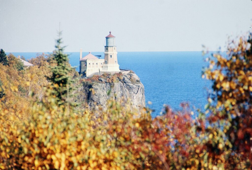
- Duluth and the North Shore. Two and a half hours north on I-35, then up Highway 61 along Lake Superior to Gooseberry Falls, Split Rock Lighthouse and beyond; there is no practical way to do it without a car.
- Stillwater and the St. Croix Valley, about 45 minutes east, and the river towns of Red Wing and Wabasha to the south along the Mississippi bluffs.
- Paisley Park, the Minnesota Landscape Arboretum and the western suburbs, which are poorly served by transit.
- The lake country. A weekend “up north” at a cabin or resort in the Brainerd lakes or beyond is a Minnesota institution, and a car is essential.
- Family in the suburbs. The Twin Cities suburbs are spread out and designed around driving; a car earns its keep daily.
- Midwest road trips. Minneapolis is a natural stop on a loop through Wisconsin and Chicago; our Chicago to Minneapolis route guide covers the drive, and our Chicago car-versus-transit guide covers the other end.
If any of those apply, our rental car booking tips cover insurance, deposits and the questions to ask at the counter, and our family car rental guide looks at vehicle choice.
When it does not
- You are staying downtown, in the North Loop or by the river and your plans are the city.
- You are in town for a conference, a game or a concert, when downtown parking is at its worst and the light rail stops at the stadium doors.
- You are visiting the State Fair, where the express buses and shuttles beat driving and parking.
- You are traveling solo or as a couple and the rental, insurance and hotel parking add up to more than the trains and a few rides.
The hybrid plan for a city-plus-day-trips visit
Go car-free for the city days and rent for the days out, and think carefully about where you pick up. Renting at the airport makes sense if you are heading straight out of town, or staying in Bloomington or the suburbs, because the freeways are minutes from the terminal and you never enter downtown traffic. Renting from a downtown or neighborhood branch makes sense if you are spending the first nights in the city, because you avoid the airport fees and the hotel parking on the nights you are not using the car. A pattern that works well: the Blue Line into the city, two or three car-free days, pick up a rental downtown, drive to Stillwater or Duluth for the days out, and return the car at the airport on the way to the flight home. Minnesota adds a rental-vehicle tax on top of the airport fees, so the gap between an airport rental and a downtown one can be noticeable; compare the day rates on our Minneapolis car rental page against a full-trip rental and the difference is usually obvious.
A worked cost comparison
Numbers change with the season and the booking window, so treat this as a method rather than a quote, and check current rates before deciding. For a four-night city break downtown for two people, the car-free version costs two Blue Line rides from the airport and back, a couple of transit day passes, and perhaps two or three evening ride-hail trips; the rental version adds four days of a compact car, four nights of hotel parking at downtown rates, fuel and the airport fees and taxes. The transit option wins easily. For the same four nights with a day in Stillwater, the hybrid version adds one day’s rental picked up downtown, fuel and parking in Stillwater, which is far cheaper than keeping a car for the whole stay. For a week with two nights in Duluth and on the North Shore, a rental for the whole trip starts to make sense, especially for a family, and the airport pickup is the simplest. Run the rental rates for your dates on our Minneapolis car rental page and put them beside the transit costs before you choose.
Driving north to Duluth and the North Shore in each season
The drive from the Twin Cities to Duluth is about 250 km (155 miles) on I-35, a straightforward divided interstate through farmland, forest and lake country that takes about two and a half hours; from Duluth, Highway 61 runs northeast along the shore of Lake Superior toward Two Harbors, Gooseberry Falls, Split Rock Lighthouse and, eventually, the Canadian border. In summer, the problems are traffic and parking: northbound on Friday afternoon and southbound on Sunday afternoon, much of the metro is heading to and from the cabin, and the state park lots on the North Shore fill by late morning on weekends. Leave early, or go mid-week. In fall, the color along the North Shore usually peaks from late September into early October, and those weekends bring summer-level traffic and full hotels in Duluth and the shore towns; book ahead. In winter, I-35 is plowed and generally open, but snow and blowing snow can reduce visibility sharply in open country, Duluth’s streets climb steep hills from the lake, and Lake Superior can generate its own snow squalls; check Minnesota 511 before you leave, carry a winter kit, and keep the tank full. In spring, the thaw brings potholes and frost-heaved roads, and the waterfalls along the shore are at their most powerful as the snow melts.
Decision table
| Your trip | Recommendation | Why |
|---|---|---|
| City break downtown, couple or solo | No car | The Blue Line from the airport, the skyways and a bike cover it; parking is expensive |
| Conference, game or concert | No car | Event parking is costly and the light rail stops at the stadiums |
| State Fair visit | No car | Express buses and park-and-ride shuttles beat driving |
| City plus a day in Stillwater or the river towns | Hybrid: rent downtown for one day | Car-free city days, car for the day out |
| Duluth and the North Shore | Rent, ideally at the airport | I-35 is minutes from the terminal; the shore needs a car |
| Family visit to the suburbs | Rent for the whole stay | Suburban distances make the car worthwhile daily |
| Winter trip with young children | Rent, and park in a ramp or hotel lot | Gear, cold and snow emergency rules all argue for a garage |
| Midwest road trip | Rent (consider one-way from Chicago) | Minneapolis is a stop, not the destination |
Money-saving tips for both options
- On transit: ride the Blue Line from the airport rather than a taxi; buy a day pass for a heavy sightseeing day; use the free ride between terminals if your airline is in the other one.
- On a rental: compare airport and downtown pickup, book early for summer weekends, the State Fair and fall color season, decline extras you already have through a credit card or home policy (check first), and stay out of the express lanes without a transponder.
- On the hotel: if you are renting, price the parking fee into the room rate, and consider staying in Saint Paul or Bloomington, where parking is cheaper and the light rail still reaches downtown Minneapolis.
- On timing: avoid I-94 and I-35W in the weekday peaks and I-35 north on summer Friday afternoons; our best time to fly to Minneapolis guide lists the busiest weekends.
- On winter: check for snow emergencies every evening after a snowfall, because a tow and impound fee will wipe out anything you saved on the rental.
Frequently asked questions
Is it worth renting a car in Minneapolis?
For Duluth, the North Shore, Stillwater, the suburbs or a road trip, yes. For a city break based downtown or in the North Loop, no; the light rail, the skyways and a bike are enough.
Is Minneapolis public transit good for tourists?
Good within the core: the Blue Line reaches the airport, Minnehaha Falls and the Mall of America, and the Green Line reaches the University and Saint Paul. Buses cover the lakes and neighborhoods, less frequently.
How do I get from MSP airport to downtown Minneapolis?
The Blue Line light rail from either terminal in about 25 minutes, or a taxi or ride-hail in about 20 minutes outside rush hour.
Can I get to Saint Paul without a car?
Yes. The Green Line runs from downtown Minneapolis to downtown Saint Paul in around 45 minutes, and a bus runs from the airport’s Terminal 1.
What is a snow emergency?
A declaration after heavy snow that sets a three-day rotation of parking restrictions so the plows can clear the streets. Cars parked in the wrong place are ticketed and towed, so park in a ramp or hotel lot when snow is forecast.
Are the skyways open all the time?
No. They belong to the buildings they connect, so hours vary; most are open from early morning into the evening on weekdays, with shorter hours on weekends.
Do I need winter tires to drive in Minnesota?
No, and rentals usually come on all-seasons. Drive slowly on snow, leave plenty of distance, and check road conditions before heading north in winter.
Whichever way you go, start with the flight. Compare cheap flights to Minneapolis, choose a neighborhood with our Minneapolis hotel search, and if Duluth or the St. Croix are on the list, price the rental for those dates on our Minneapolis car rental page.
Keep planning with TicketScanner
- Minneapolis car rentals — compare airport and downtown pickup
- Cheap flights to Minneapolis
- Minneapolis hotels — factor parking into the rate
- Things to do in Minneapolis: a first-timer's guide
- Best time to fly to Minneapolis: month by month
- Minneapolis-Saint Paul International (MSP) airport guide
- Driving Chicago to Minneapolis
- Chicago: rent a car or use transit?
- Rental car booking tips
- Car, transit or taxi in a new city?